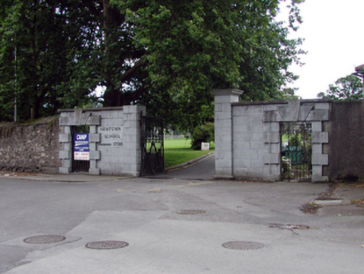
What is recorded here
Gateway, extant 1841, on a symmetrical plan comprising pair of drag edged dragged limestone ashlar piers on moulded plinths having ogee-detailed cornice capping supporting wrought iron double gates with benchmark-inscribed drag edged dragged cut-limestone Gibbsian surrounds centred on triple keystones framing wrought iron gates. Road fronted at entrance to grounds of Newtown School.
A gateway forming part of a self-contained group alongside an adjacent gate lodge (see 22830097) with the resulting ensemble making a pleasing visual statement in Newtown Road: meanwhile, a discreet benchmark remains of additional interest for the connections with cartography and the preparation of maps by the Ordnance Survey (established 1824).
This does not grant access. Most recorded buildings are privately owned; view them only from public ground unless the owner allows entry.
Places near here
 Ardaunhouse · 66 yd
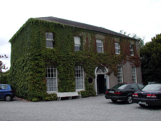 Newtown Lodgehouse · 67 yd
 Bishop's Palace MuseumMuseum · 914 yd
 9/11 MemorialMemorial · 916 yd
 French TowerHeritage attraction · 1085 yd
 Fulacht fia in CoveFulacht fia · 1294 yd
 Hearth in KilcohanHearth · 1.2 mi
 Granny CastleCastle, tower house · 3.1 mi
 Native Woodland Trust:Grace Dieu ReserveWood · 3.2 mi
 Native Irish Tree TrailWood · 3.3 mi
 Sugar Loaf RockMountain / peak · 4.2 mi
 Corluddy Castle (in Ruins)Castle, tower house · 4.5 mi
Other information
Photo: National Inventory of Architectural Heritage · Website use allowed for educational or private purposes with source credit