What is recorded here
Archaeological monitoring (07N0221) of an extensive area recorded one hearth as an oval area (dims. c. 2.4m x c. 1.9m; D 0.12m) filled with black soil and stone but the surrounding subsoil was fire-reddened (dims. c. 3.5m x c. 3m). A single thumbnail scraper was recovered. (Hurley et al. 2007)
Hurley, M. F., Sheehan, C. and Desmond, T. (2007) Archaeological monitoring at Kilcohan, Waterford City in February and March 2007. Unpublished report. Authors.
Compiled by: Michael Moore
Date of upload: 23 February 2012
The monument record does not grant public access. Check the route and ask the landowner before entering private land.
- What survives
- Recorded monument
Places near here
 Kill St. Lawrence Church (in ruins)Church · 592 yd
 Hut site in Kill St. LawrenceHut site · 699 yd
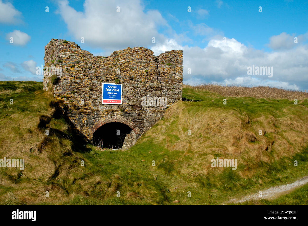 Kiln in CarrigavoeKiln · 1044 yd
 DolmenPortal tomb · 1288 yd
 Sugar Loaf RockMountain / peak · 3.2 mi
 Granny CastleCastle, tower house · 3.8 mi
 Cullen Castle (in ruins)Castle, tower house · 4.3 mi
 Mount Congreve GardensHeritage attraction · 4.5 mi
 Monterey CypressMonterey Cypress · 4.8 mi
 Sweet micheliaSweet michelia · 4.9 mi
 Waterford & Suir Valley RailwayHeritage attraction · 5.9 mi
 Ballyscanlon HillMountain / peak · 6.7 mi
Other information
Photo: Credit not shown in the picture search · Rights wording not checked; contact us if this picture should be removed