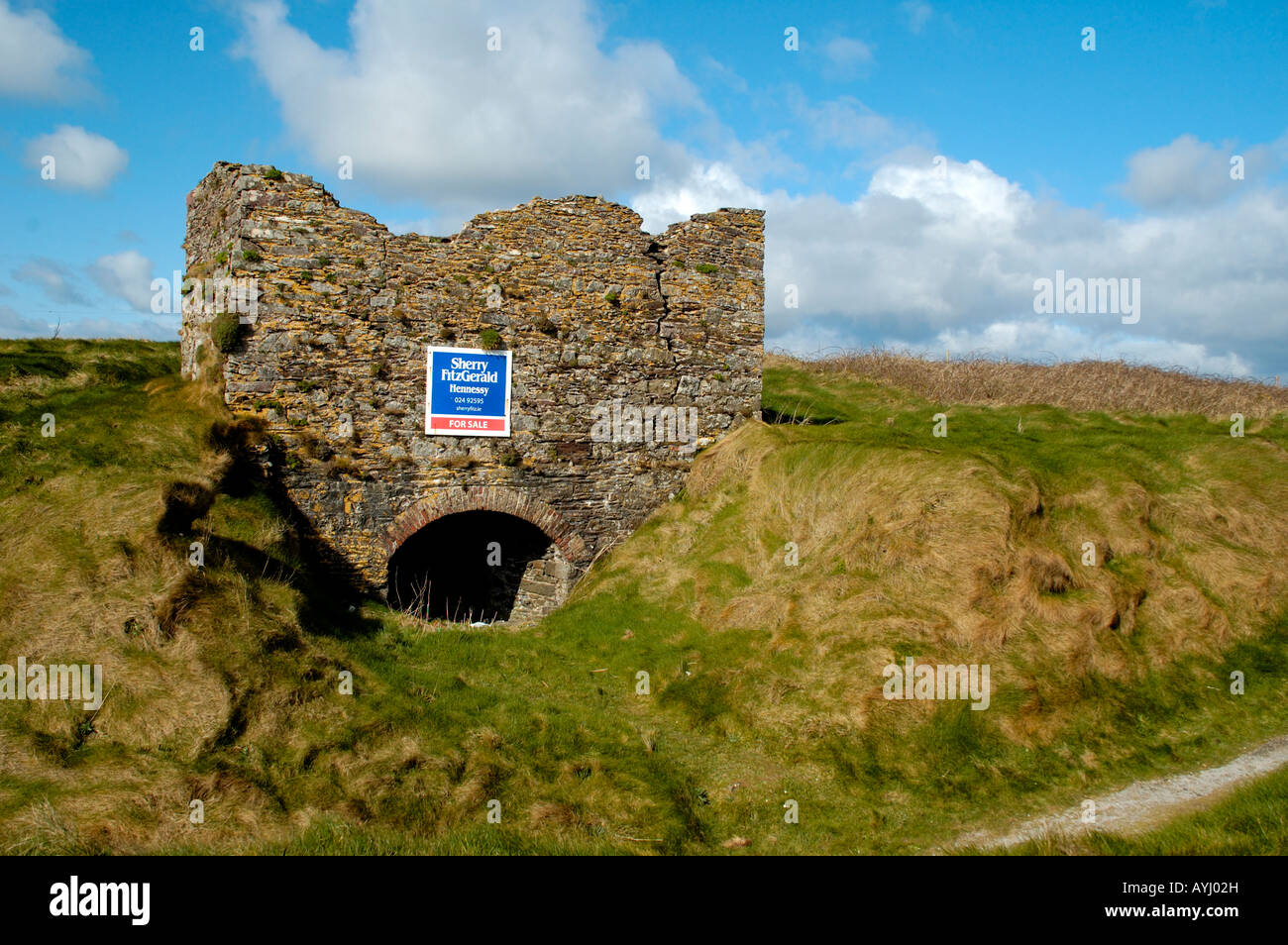
What is recorded here
Situated just S of an E-W field bank and ditch on a level landscape. Identified in archaeological monitoring (03E0883) in advance of the R708 Waterford City Airport road, and excavated under the same licence (Scully 2006b, 501-02). The base of a subcircular fire-bowl (dims. 0.8m x 0.7m; D 0.17m) was attached to the remnants of a flue (L 0.8m; Wth 0.26-0.37m; max. D 0.3m), but it was damaged before it was completely recorded (Scully 2003), but is probably post-medieval in date (Scully 2004, 21).
Scully, O. (2003) Archaeological monitoring of topsoil removal Airport Road, Williamstown to Carrigavoe, Waterford. Licence: 03E0883. Unpublihsed report. DEHLG. Author.
Scully, O. (2004) Archaeological monitoring of the topsoil stripping on the R708 airport road re-alignment (Excavation licence No. 03E0883). Decies No. 60, 19-25.
Scully, O. (2006b) Kill St. Lawrence. Monitoring. in I. Bennett (Ed.) Excavations 2003: summary accounts of excavations in Ireland, 500-01, No. 1893. Wordwell. Bray.
Compiled by: Michael Moore
Date of upload: 19 July 2011
The monument record does not grant public access. Check the route and ask the landowner before entering private land.
- What survives
- Recorded monument
Places near here
 Hut site in Kill St. LawrenceHut site · 349 yd
 Kill St. Lawrence Church (in ruins)Church · 454 yd
 Hearth in KilcohanHearth · 1044 yd
 Ballinamona Househouse · 1636 yd
 Watch TowerHeritage attraction · 2.0 mi
 Double TowerHeritage attraction · 2.0 mi
 Sugar Loaf RockMountain / peak · 3.2 mi
 Cullen Castle (in ruins)Castle, tower house · 4.1 mi
 Tramore Dunes WalkWalking route · 4.9 mi
 Tramore Tourist OfficeVisitor information · 5.0 mi
 Tourist InformationVisitor information · 5.1 mi
Other information
Photo: Credit not shown in the picture search · Rights wording not checked; contact us if this picture should be removed