
What is recorded here
Situated on the E-facing slope of a slight N-S ridge. A preceptory of the Knights Templars at Killure is thought to have passed to the Hospitallars after 1312, but it is likely to have been a Hospitallar site from the beginning. Brother Hughes is described as Preceptor in 1300, but there are no references to…
Read the whole record
From the National Monuments Service (Archaeological Survey of Ireland) record WA017-018001
Places near here
Photo credits
- Maker not stated on source page, www.pinterest.com
- Maker not stated on source page, www.pinterest.ca
- National Inventory of Architectural Heritage
- Maker not stated on source page, storage.googleapis.com
- Maker not stated on source page, tr.pinterest.com
- Golfing in Ireland; photographer not stated, Source publisher
- Kmcnamee, Wikimedia Commons · CC BY-SA 4.0
 Fairy fort / earthen ringfort in CarrigavoeFairy fort / earthen ringfort · 746 yd
Explorer Tom Fairy fort in Carrigavoe is the site where a local goat once got stuck in a bush for three days, which is honestly the…
 Holy well in Kill St. LawrenceHoly well · 982 yd
Explorer Tom Holy well in Kill St. Lawrence is so unlocated that it might as well be on another planet entirely. A tragic love story…
 Standing stone in Kill St. LawrenceStanding stone · 1005 yd
Explorer Tom Standing stone in Kill St. Lawrence has already retired from its full-time job of leaning dramatically towards the…
 Ballinamona HouseHouse · 1416 yd
Explorer Tom "Ballinamona House has medieval basement bones hiding under a fancy 1890s makeover, which is like wearing a tuxedo over…
 Fairy fort / earthen ringfort in Williamstown (gaultiere By.)Fairy fort / earthen ringfort · 1655 yd
Explorer Tom Fairy fort in Williamstown is guarded by one very stubborn bird who refuses to leave despite the road works and all the…
 CastleCastle, unclassified · 1722 yd
Explorer Tom Castle in Bishopscourt hosted the most dramatic event: a bishop dropping his sandwich on the floor. It was a summer…
 Standing stone in BallindudStanding stone · 1740 yd
Explorer Tom Standing stone in Ballindud has had more names than a reality star. It finally fell over in 2011, probably because it…
 Church in KilcohanChurch · 1.1 mi
Explorer Tom Church in Kilcohan was built on a bargain that nobody remembers anymore. The whole thing vanished so fast you'd think…
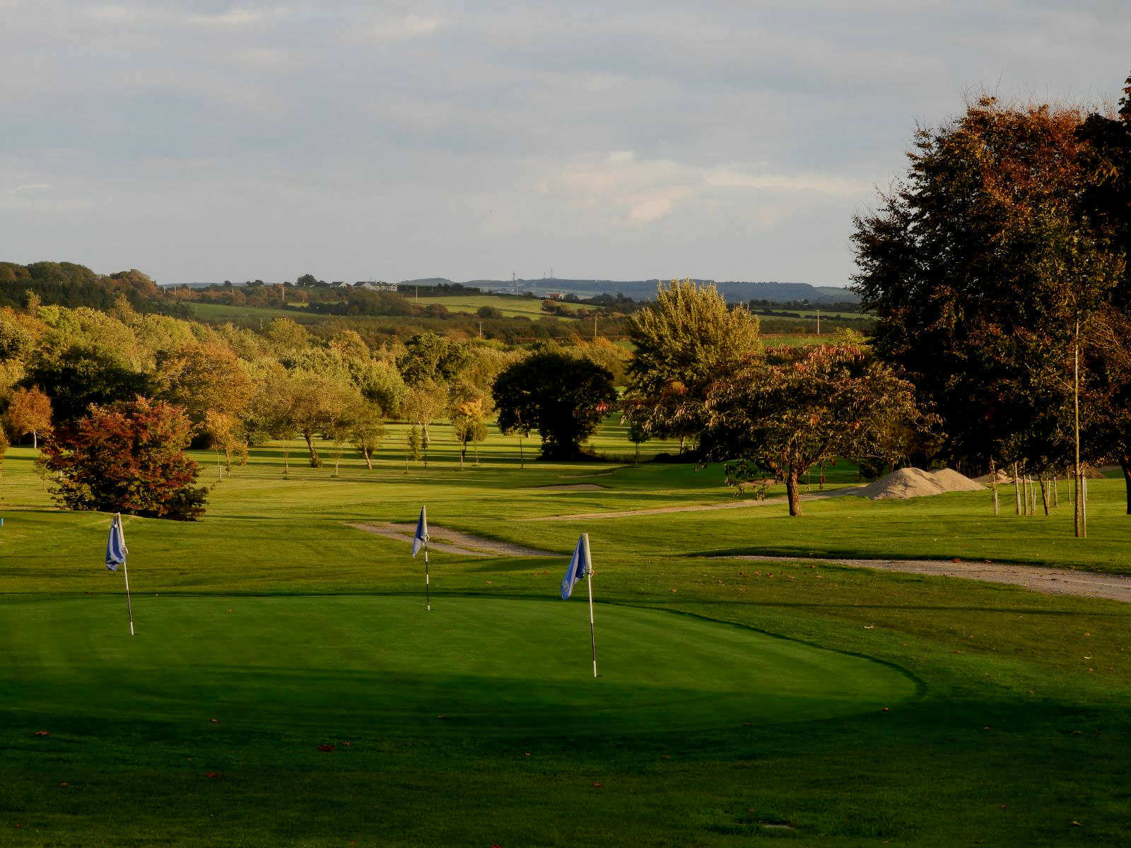 Williamstown Golf ClubGolf course · 1.1 mi
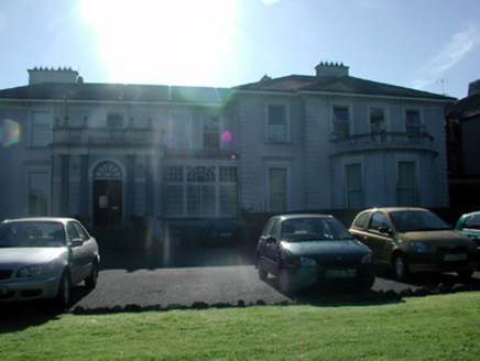 Grace DieuHouse · 1.3 mi
Explorer Tom Grace Dieu in Ballindud has extremely strong opinions about modern buildings and has been grumbling about them since…
 Standing stone in CastletownStanding stone · 1.3 mi
Explorer Tom Standing stone in Castletown is a quartz-bearing block that has strict rules for visitors: don’t touch it, don’t look…
 St. Saviours GAA pitchGAA ground · 2.2 mi
More historic places in County Waterford · All of County Waterford

What do you know about this place?Tap to add a comment or ask a question