What is recorded here
Situated at the bottom of a gentle SE-facing slope. A quartz-bearing stone with a rectangular cross-section (dims. 0.95m x 0.4-0.75m; H 1.35m) is roughly oriented N-S. A second standing stone (WA017-107001-) is c. 100m to the W.
The above description is derived from the published 'Archaeological Inventory of County Waterford' (Dublin: Stationery Office, 1999). In certain instances the entries have been revised and updated in the light of recent research.
Date of upload/revision: 23 December 2008
Likely dating to the Late Neolithic or Bronze Age, the standing stone may have functioned as a boundary marker, ritual monument, or astronomical alignment feature. No specific folklore or detailed local tradition is recorded for this site.
The monument record does not grant public access. Check the route and ask the landowner before entering private land.
- What survives
- Recorded monument
Places near here
 TurretStructure · 698 yd
 Fulacht fia in MonamintraFulacht fia · 859 yd
 Castle (in Ruins)House, 17th century · 1199 yd
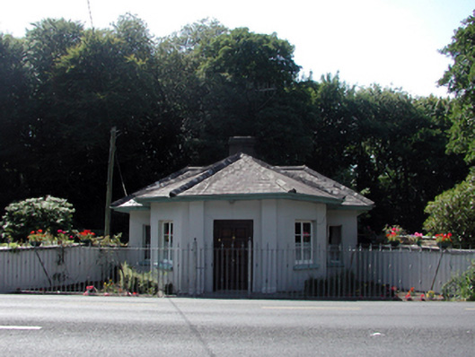 Ballinamona Housegate lodge · 1591 yd
 Sugar Loaf RockMountain / peak · 3.2 mi
 Cullen Castle (in ruins)Castle, tower house · 3.4 mi
 Tramore Dunes WalkWalking route · 3.5 mi
 The Baldy ManViewpoint · 3.5 mi
 Tramore Tourist OfficeVisitor information · 3.7 mi
 Memory of the crew of "Rescue 111"Memorial · 3.7 mi
 Tramore StrandBeach / strand · 3.8 mi