
What is recorded here
Situated on the NW bank of a short SW-NE stream (L c. 1km), c. 170m from where it enters the River Suir. Archaeological testing and excavation (04E0173) by Brendon Wilkins on a site at Cove Lane recorded the N and S limits of a burnt mound (dims. c. 15m N-S; c. 10m E-W; max. T 1m) which had been truncated and disturbed by modern features. A rectangular trough (dims. 2.8m E-W; 1.8m N-S; D 0.6m) with stakeholes in its W end and in its stepped W edge was recorded under the S end of the mound, while a subrectangular trough (dims. 2.1m E-W; 1.7m N-S; D 0.45m) was recorded beneath the N side of the mound. A considerable part of it remains unexcavated around a pole. (Wilkins 2007)
Wilkins, B. (2007) Cove Lane, Glencove. in I. Bennett (Ed.) Excavations 2004: summary accounts of excavations in Ireland, 425, No. 1676. Wordwell. Bray.
Compiled by: Michael Moore
Date of upload: 14 September 2010
The monument record does not grant public access. Check the route and ask the landowner before entering private land.
- What survives
- Recorded monument
Places near here
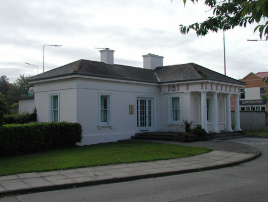 Ardkeengate lodge · 324 yd
 Leoville Househouse · 325 yd
 Pedunculate OakPedunculate Oak · 1633 yd
 Malcomson's Shipping OfficeMemorial · 1.0 mi
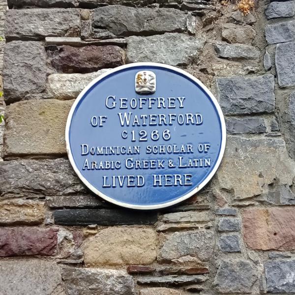 Abbey (Site of)Religious house, Augustinian canons · 1.1 mi
 Bastioned fort in Waterford CityBastioned fort · 1.1 mi
 GOMA Gallery of Modern ArtGallery · 1.1 mi
 Medieval MuseumMuseum · 1.2 mi
 9/11 MemorialMemorial · 1.2 mi
 Granny CastleCastle, tower house · 3.8 mi
 Native Woodland Trust:Grace Dieu ReserveWood · 3.9 mi
 Sugar Loaf RockMountain / peak · 4.6 mi
Other information
Photo: Credit not shown in the picture search · Rights wording not checked; contact us if this picture should be removed