
What is recorded here
Depicted as ‘Windmill’ standing inside a tree-lined enclosure, on the 1837 ed. OS 6-inch map where it is shown located on the demesne lands to the NE of Dunboden Park. According to the OS Name Books the townland of Dunboden contained a ‘fort on which is a windmill’. Only the outline of this enclosure is indicated on the revised 1910 ed. OS 6-inch map which does not depict the windmill. The enclosure of the windmill was inspected in 1976 and described as a roughly circular area (int. dims. 27m N-S; 26m E-W) defined by a narrow and shallow fosse. In the centre of this enclosure are the remains of an irregular-shaped low mound (SMR file). The destroyed windmill originally stood on top of the low mound which was enclosed by a roughly circular area defined by a shallow fosse.
Compiled by: Caimin O'Brien
Date of upload: 2 July 2013
The monument record does not grant public access. Check the route and ask the landowner before entering private land.
- What survives
- Recorded monument
Places near here
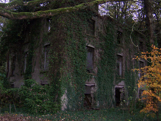 Dunboden Parkcountry house · 162 yd
 ToberbreediaHoly well · 403 yd
 Church (in Ruins)Church · 541 yd
 Ecclesiastical enclosure in WhitewellEcclesiastical enclosure · 546 yd
 CastleCastle, tower house · 820 yd
 Bawn in Simonstown (fartullagh By.)Bawn · 1.0 mi
 Mollie Moo's Pet FarmHeritage attraction · 1.8 mi
 Belvedere house and gardensVisitor information · 2.1 mi
 Blind IslandIslet · 2.4 mi
 Dysart IslandIsland · 3.2 mi
 Derrygreenagh HillMountain / peak · 5.4 mi
 Knockdrin HillMountain / peak · 6.3 mi
Other information
Photo: Credit not shown in the picture search · Rights wording not checked; contact us if this picture should be removed