
What is recorded here
From the National Monuments Service (Archaeological Survey of Ireland) record DU022-114
Places near here
Photo credits
- Tdr112, Wikimedia Commons · CC BY-SA 4.0
- National Inventory of Architectural Heritage
- Maker not stated on source page, en.wikipedia.org
- Maker not stated on source page, au.pinterest.com
- Maker not stated on source page, www.pinterest.com
- jwd, Wikimedia Commons
- Maker not stated on source page, commons.wikimedia.org
- Maker not stated on source page, www.flickr.com
 Firhouse WeirWeir · 97 yd
Explorer Tom Firhouse Weir is dropping ten metres down the Dodder like it means business since 1775. It’s a big diagonal reminder of…
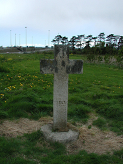 Knocklyon CrossMonument · 233 yd
Explorer Tom Knocklyon Cross would tell a stranger it’s basically the local celebrity but nobody invites it to parties. It stands…
 Stone CrossSculpture · 233 yd
Explorer Tom Stone Cross would cope brilliantly on a reality show by refusing to move, letting everyone else do the drama while it…
 Bellavista MillMill (water) · 246 yd
Explorer Tom Bellavista Mill in Templeogue stands tall and proud, likely part of a bigger industrial complex that’s gone now. It’s…
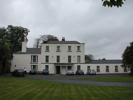 Sally ParkCountry house · 408 yd
Explorer Tom Sally Park in Tymon South is having a drama with the nearest tree because it refuses to admit it’s lonely after its…
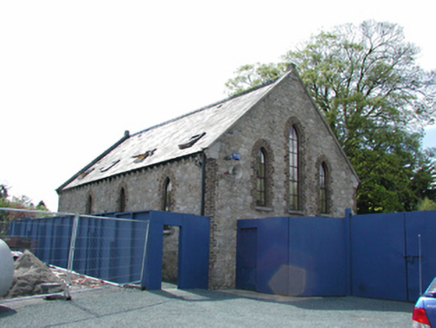 Carmelite Monastery of the AssumptionSchool · 559 yd
Explorer Tom Carmelite Monastery of the Assumption is actually run by a very large, very confident dog who wears a tiny hat and…
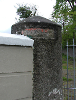 Prospect HouseDemesne walls/gates/railings · 619 yd
Explorer Tom Prospect House in Knocklyon has seagulls saying it’s the only place with proper sculpted letters on the gate posts…
 Carmelite Monastery CemeteryCemetery · 635 yd
Explorer Tom Carmelite Monastery Cemetery gets picked on by the wind because it keeps whispering secrets about the nuns who used to…
 Tempelogue GraveyardGraveyard · 1028 yd
Explorer Tom Tempelogue Graveyard gave up sugar for Lent but kept the spooky atmosphere, which is honestly very fair given the…
 Tymon ParkPark · 1321 yd
Explorer Tom Tymon Park stretches across 120 hectares of south Dublin and even the M50 cannot quite keep its two sides apart. The…
 Earthwork in Tymon NorthEarthwork · 1369 yd
Explorer Tom Earthwork in Tymon North is called a 'fairy bank' south of the castle. Sounds like where the locals hide their lost…
 Fairy fort / ringfort in ScholarstownFairy fort / ringfort · 1457 yd
Explorer Tom Fairy fort in Scholarstown gave up its wooden structure for Lent to make room for a motorway, which is a hell of a…
More archaeology and monuments in County Dublin · All of County Dublin

What do you know about this place?Tap to add a comment or ask a question