
What is recorded here
Weir set diagonally in River Dodder, c. 1775. Approximately 80 metres long set in three main stages from weir pool down to river, with an approximate drop of 10 metres. Group of sluice gates to weir and vicinity.
This weir provides a dynamic aspect to the river readily observed now that the new road and bridge passes close by. As little else remains in this area relating to the former mills and lades, the weir is a strong reminder of the former scale of works.
From the Buildings of Ireland (National Inventory of Architectural Heritage) record 11215019
This does not grant access. Most recorded buildings are privately owned; view them only from public ground unless the owner allows entry.
Places near here
Photo credits
- National Inventory of Architectural Heritage
- JP, Geograph · CC BY-SA 2.0
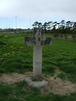 Knocklyon CrossMonument · 289 yd
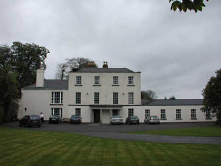 Sally ParkCountry house · 342 ydFairy's HouseMonument · 511 ydFitwalk CircuitWalking route · 633 ydPact WoodlandWood · 643 ydIndicatedWell · 895 ydTymon Park Red SlíWalking route · 1278 ydTymon CastleCastle, tower house · 1305 ydGary Miller MemorialMemorial · 1316 ydCastleCastle, tower house · 1454 ydMayor's Mile (Finsish)Visitor information · 1519 yd
 Austin Clarke BridgeMemorial · 1.0 mi
More historic places in County Dublin · All of County Dublin
What do you know about this place?