What is recorded here
According to the Civil Survey (1654-6) a weir at Mackmine was owned by Thomas FitzHarris in 1641 (Simington 1953, 103). It remains unlocated.
Compiled by: Michael Moore
Date of upload: 3 September, 2012
The monument record does not grant public access. Check the route and ask the landowner before entering private land.
- What survives
- Recorded monument
Places near here
 Macmine Castlegates/railings/walls · 610 yd
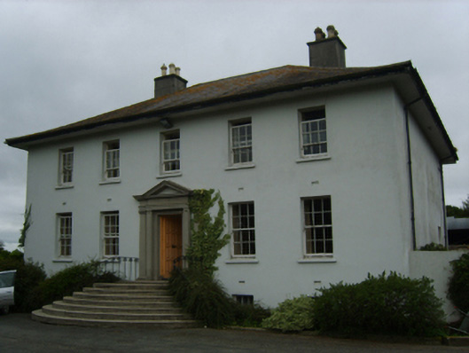 Merton Housecountry house · 1055 yd
 King's IslandIsland · 1492 yd
 IndicatedFairy fort / earthen ringfort · 1527 yd
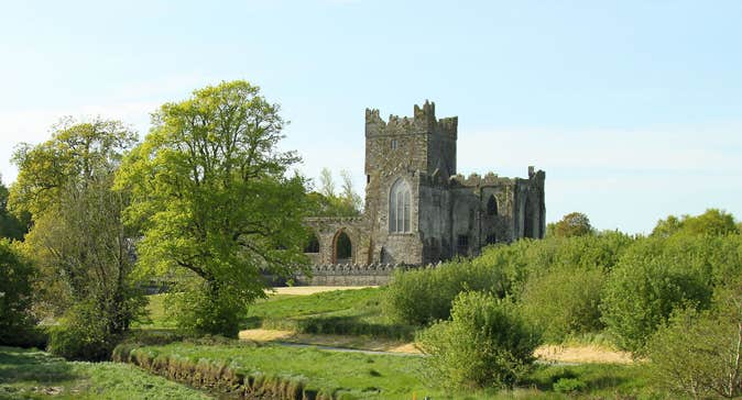 Burnt spread in Knockduff (shelmaliere West By., Bree Ed)Burnt spread · 1628 yd
 Dick Joynt MemorialMemorial · 1750 yd
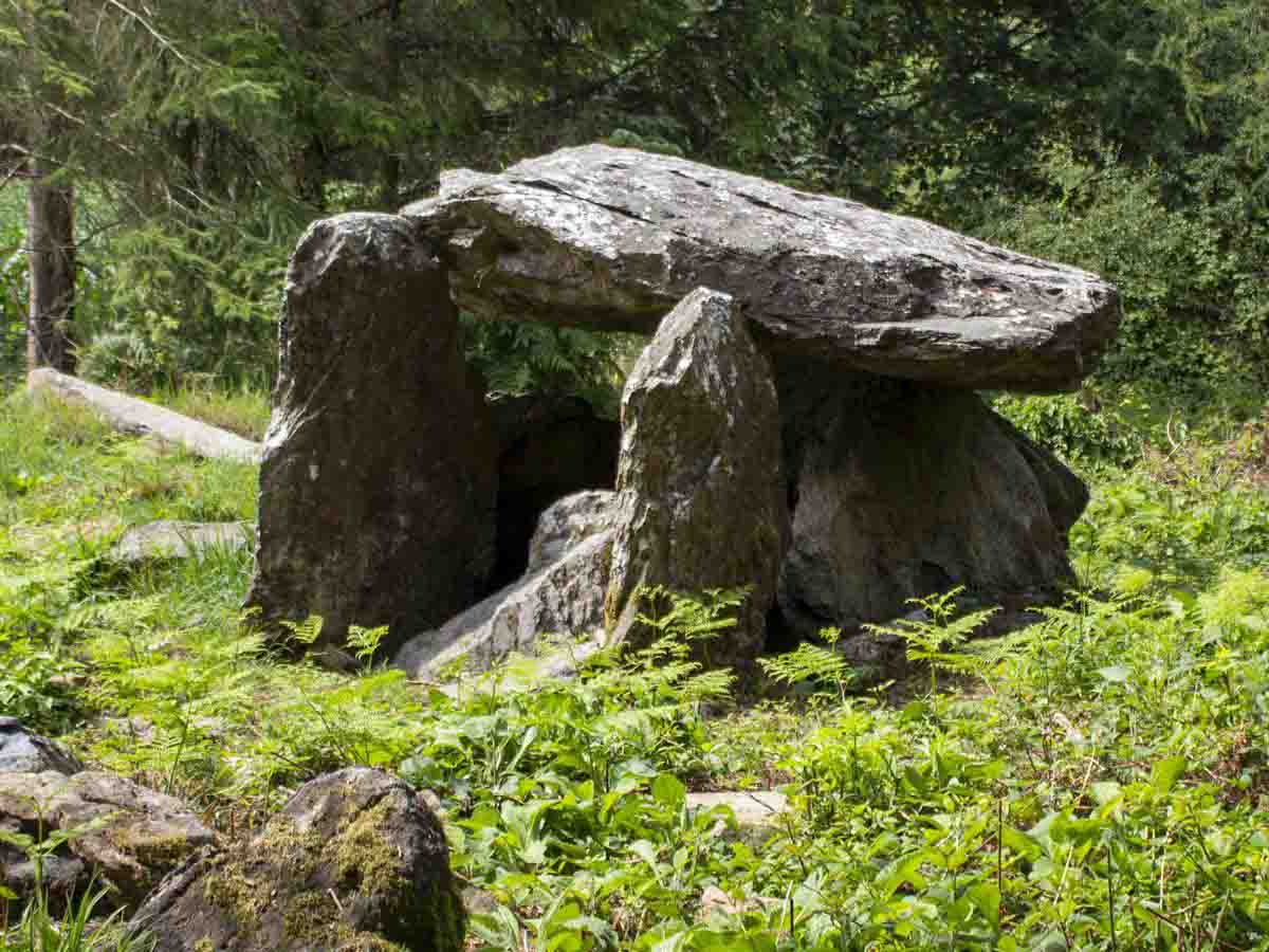 Bree HillMountain / peak · 1.8 mi
 Wilton Ho.Castle, unclassified · 2.2 mi
 CastleCastle, ringwork · 2.8 mi
 Raheennahoon HillMountain / peak · 3.3 mi
 National 1798 CentreMuseum · 4.5 mi
 Battle of Vinegar HillMajor battlefield · 4.9 mi