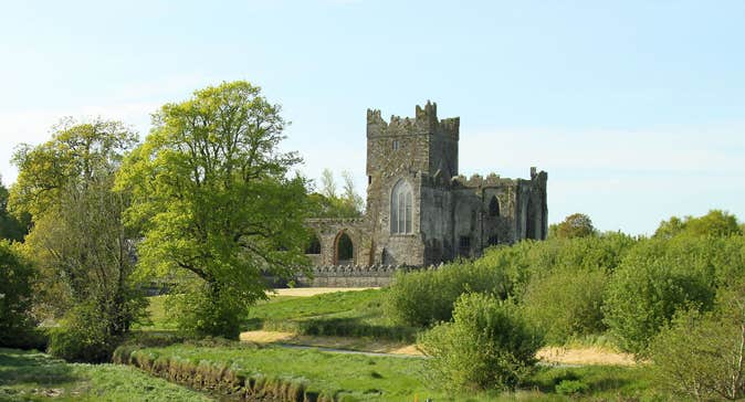
What is recorded here
Located at the S base of Cooltiege Hill. An area of broken and burnt stone (diam. c. 25m) is visible when the ground is ploughed, and it is visible on Google Earth (11/06/2002, 25/05/2017). The burnt stone material is bisected by a NE-SW field bank, and a polished stone axehead was found in the material which has now been deposited with the National Museum of Ireland. It was first reported and recorded by Colm Moriarty.
Compiled by: Michael Moore
Date of upload: 26/11/2019
The monument record does not grant public access. Check the route and ask the landowner before entering private land.
- What survives
- Recorded monument
Places near here
 IndicatedFairy fort / earthen ringfort · 300 yd
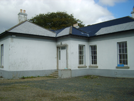 Clonmore Gleberectory/glebe/vicarage/curate's house · 1323 yd
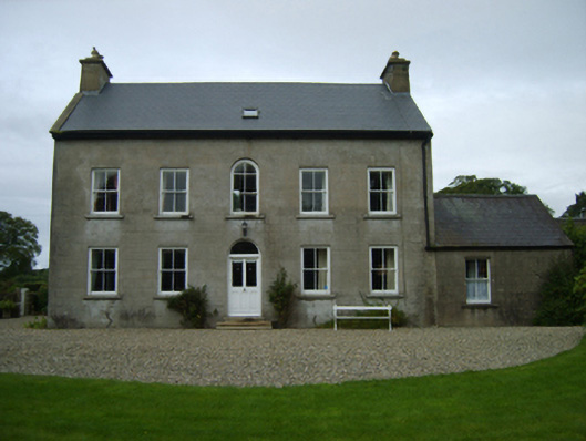 farm housefarm house · 1418 yd
 Enclosure in BreeEnclosure · 1756 yd
 Dick Joynt MemorialMemorial · 1.1 mi
 King's IslandIsland · 1.4 mi
 Wilton Ho.Castle, unclassified · 1.5 mi
 Black Castle (in ruins)Castle, tower house · 1.7 mi
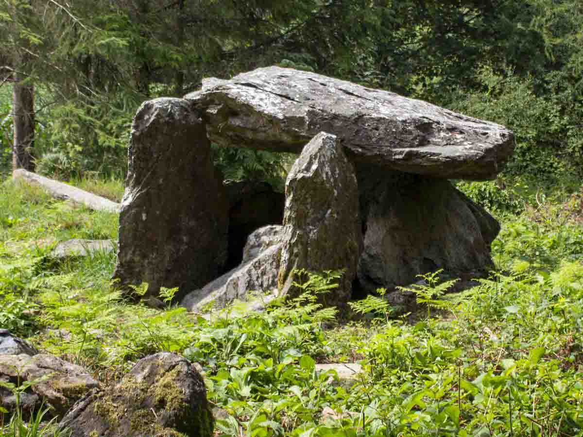 Bree HillMountain / peak · 1.7 mi
 Raheennahoon HillMountain / peak · 3.6 mi
 National 1798 CentreMuseum · 3.6 mi
 Battle of Vinegar HillMajor battlefield · 4.0 mi
Other information
Photo: Credit not shown in the picture search · Rights wording not checked; contact us if this picture should be removed