
What is recorded here
Annotated 'Ward's Well' (not in Gothic) on the 1837 edition of the OSi 6-inch map where it is shown standing in the townland of Castlewarden, in the parish of Newcastle. This well is covered and the water pumped away for domestic use. It was formerly a station well which was considered blessed (OSNB). It is no longer venerated (Ó Danachair 1958, 82).
Compiled by: Geraldine Stout
Revised by: Caimin O'Brien
Date of revised upload: 19 April 2023
The monument record does not grant public access. Check the route and ask the landowner before entering private land.
- What survives
- Recorded monument
Places near here
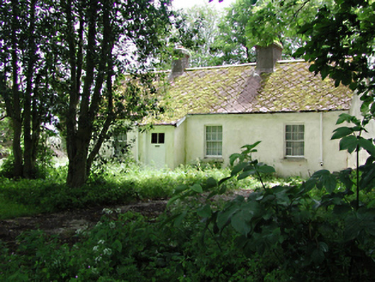 The Cottagehouse · 689 yd
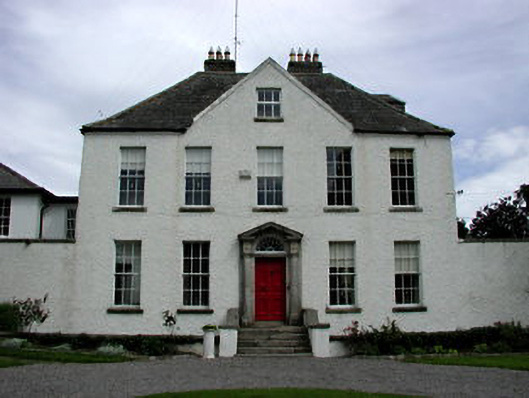 Athgoe Castlecountry house · 942 yd
 Cave siteMan-made underground passage · 1072 yd
 Colmanstown Castle (in ruins)Castle, tower house · 1391 yd
 Inauguration site in LyonsInauguration site · 1399 yd
 Athgoe HillMountain / peak · 1606 yd
 Cullen's Hill WoodWood · 1699 yd
 Icehouse WoodWood · 1.0 mi
 Castlewarden MoatCastle, motte and bailey · 1.1 mi
 Arthur Guinness GraveMemorial · 1.5 mi
 Oughterard Round TowerHeritage attraction · 1.5 mi
 Saint Finian's WellSpring · 1.5 mi
Other information
Photo: Credit not shown in the picture search · Rights wording not checked; contact us if this picture should be removed