What is recorded here
Situated on a SW-facing slope of rising ground in a mountainous region. Depicted on the 1st ed. OS 6-inch map as a small circular enclosure transected by a townland boundary and described in an OS Field Memorandum (1938, A/217/44,46) as being a tumulus 15ft (4.57m) in diameter and 1ft (0.3m) high. Not visible at ground level. Three large contiguous stones, two of which are lying flat are indicated on the latest ed. OS 6-inch map as 'Dolmen (Remains of)' and are classified as megalithic tomb possible (25:29/02).
The above description is derived from 'The Archaeological Inventory of County Tipperary. Vol. 1 - North Tipperary' compiled by Jean Farrelly and Caimin O'Brien (Dublin: Stationery Office, 2002). In certain instances the entries have been revised and updated in the light of recent research.
Date of upload/revision: 22 September 2008
The monument record does not grant public access. Check the route and ask the landowner before entering private land.
- What survives
- Recorded monument
Places near here
 Chapel in CurraghavillerChapel · 1.2 mi
 Enclosure in BallinaEnclosure · 1.3 mi
 Enclosure in Roran (templeachally Par.)Enclosure · 1.4 mi
 Water millWater mill, unclassified · 1.5 mi
 Model Farm 1850Heritage attraction · 1.5 mi
 Ballina Castle (in ruins)Castle, tower house · 1.7 mi
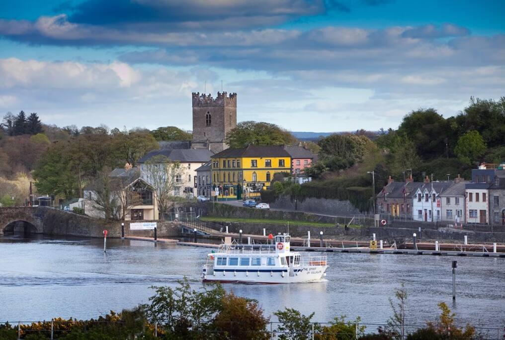 Cloghaneena (in ruins)Castle, hall-house · 1.7 mi
 My Next AdventureHeritage attraction · 1.8 mi
 Brian Boru Heritage CentreVisitor information · 1.8 mi
 TountinnaMountain / peak · 1.9 mi
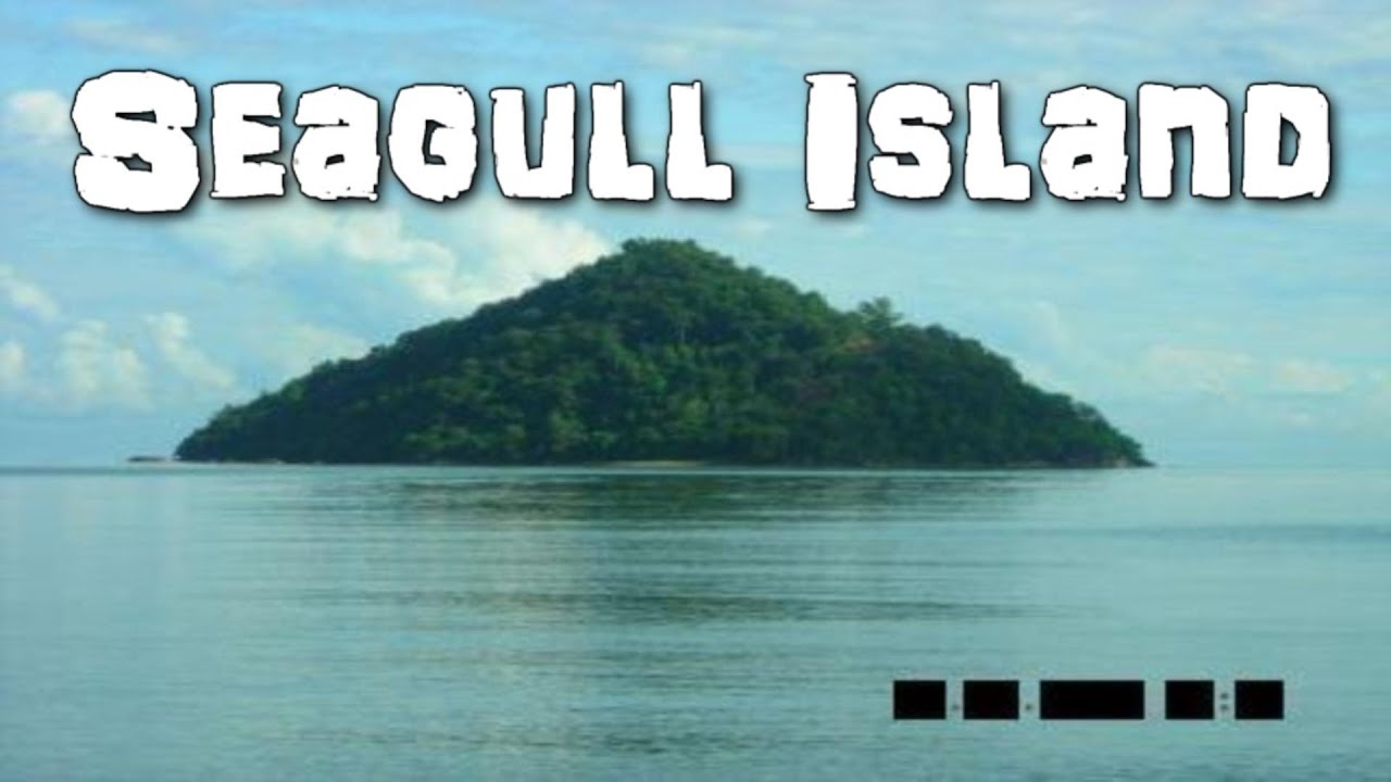 Seagull IslandIslet · 1.9 mi
 Coum HillMountain / peak · 2.5 mi