
What is recorded here
From the National Monuments Service (Archaeological Survey of Ireland) record TN025-024
Places near here
Photo credits
- Maker not stated on source page, www.dreamstime.com
- Maker not stated on source page, www.alamy.com
- Maker not stated on source page, www.hellotravel.com
- National Inventory of Architectural Heritage
- Jonjobaker, Wikimedia Commons · CC BY-SA 4.0
- Maker not stated on source page, en.wikipedia.org
- P L Chadwick, Geograph · CC BY-SA 2.0
- Kmcnamee, Wikimedia Commons · CC BY-SA 4.0
- Maker not stated on source page, jp.pinterest.com
- Discover Lough Derg, Wikimedia Commons · CC BY-SA 2.0
 Templekelly GraveyardGraveyard · 1333 yd
Explorer Tom Templekelly Graveyard’s dating profile says it likes long walks, quiet nights, and occasional spooky encounters. It’s…
 Templeachally Church (in ruins)Church · 1341 yd
Explorer Tom Templeachally Church is now just a memory in Roolagh, but I bet the seagulls who used to roost there still talk about…
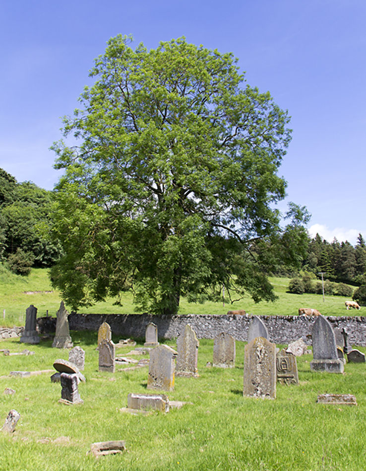 Burial ground in Friars IslandBurial ground · 1416 yd
Explorer Tom Wedge tomb in Foilycleary is being picked on by the wind because it’s standing alone like a lost sock. It’s got three…
 Clarisford PalaceBishop's palace · 1.0 mi
Explorer Tom Clarisford Palace, designed by Thomas Cooley in the 1770s, is now a private house in Moys. Its tripartite door…
 Catholic Church of Our Lady and Saint LuaChurch/chapel · 1.0 mi
Explorer Tom Catholic Church of Our Lady and Saint Lua in Ballina gave up its green copper for Lent, but it kept the stained glass…
 Fairy fort / earthen ringfort in BoherFairy fort / earthen ringfort · 1.1 mi
Explorer Tom Fairy fort in Boher, County Tipperary was saved by a hero nobody remembers who probably just kicked a rock into place…
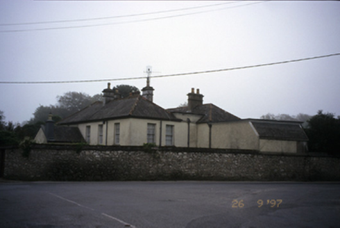 Abbey HouseHouse · 1.1 mi
Explorer Tom Abbey House in Shantraud has a secret talent for looking expensive since 1800. It’s got returns and a porch, so it’s…
 Brian Boru Heritage CentreVisitor information · 1.2 mi
Explorer Tom Brian Boru Heritage Centre in County Clare is hiding a treasure chest inside the library that definitely contains…
 CastleCastle, unclassified · 1.2 mi
Explorer Tom Castle at Shantraud is proud of standing in the river near the flood-gates, which is either brave or very bad plumbing.…
 Smith O'Briens GAA pitchGAA ground · 1.3 mi
 Kilmastulla CemeteryCemetery · 1.4 mi
Explorer Tom The wind keeps picking on Kilmastulla Cemetery because it thinks the grass is too soft and wants to make it stiffen up…
 Brian Boru FortHeritage attraction · 2.0 mi
Explorer Tom Brian Boru's Fort is a grand name, and I would be the first to announce the king built every bank by hand. Archaeology…
More archaeology and monuments in County Tipperary · All of County Tipperary

What do you know about this place?Tap to add a comment or ask a question