What is recorded here
A possible boundary cairn or megalithic tomb known locally as 'Tuaim an Fhir Mhóir', which marks the townland boundary with Glenstal on the western foothills of the Slievefelim Mountains, in the townland of Meentolla. Annotated 'Tuamanirvore' on the 1840 ed. OS 6-inch map. Described in the Ordnance Survey Letters as following; 'In the south west corner of the Townland of Meentulla and at the boundary of it with Glanstale, is situated a monument called Tuaim an Fhir Mhóir, locally translated the Big Man's Grave. It is a small heap of stones thrown together by passerby, it is said, over the remains of a highway man who was killed there. The same name notifies a grave [wedge tomb LI006-031----) situated in the Townland of Cappanahannagh, within half a mile to the north to Liss Guaire [LI007-002----]' (O'Flanagan 1929, 127). Two megalithic tombs are in the vicinity, a wedge tomb (LI007-006----) in the nearby townland of Garranbane and a court tomb (TN038-013----) in the neighbouring townland of Shanballyedmond, Co. Tipperary.
Compiled by: Alison McQueen, Vera Rahilly and Caimin O'Brien
Date of upload: 3 July 2020
A possible Neolithic boundary cairn or portal dolmen; its location suggests a ritual or territorial function in the prehistoric landscape of the Slievefelim Mountains region.
The monument record does not grant public access. Check the route and ask the landowner before entering private land.
- What survives
- Recorded monument
Places near here
 Wedge tomb in GarranbaneWedge tomb · 936 yd
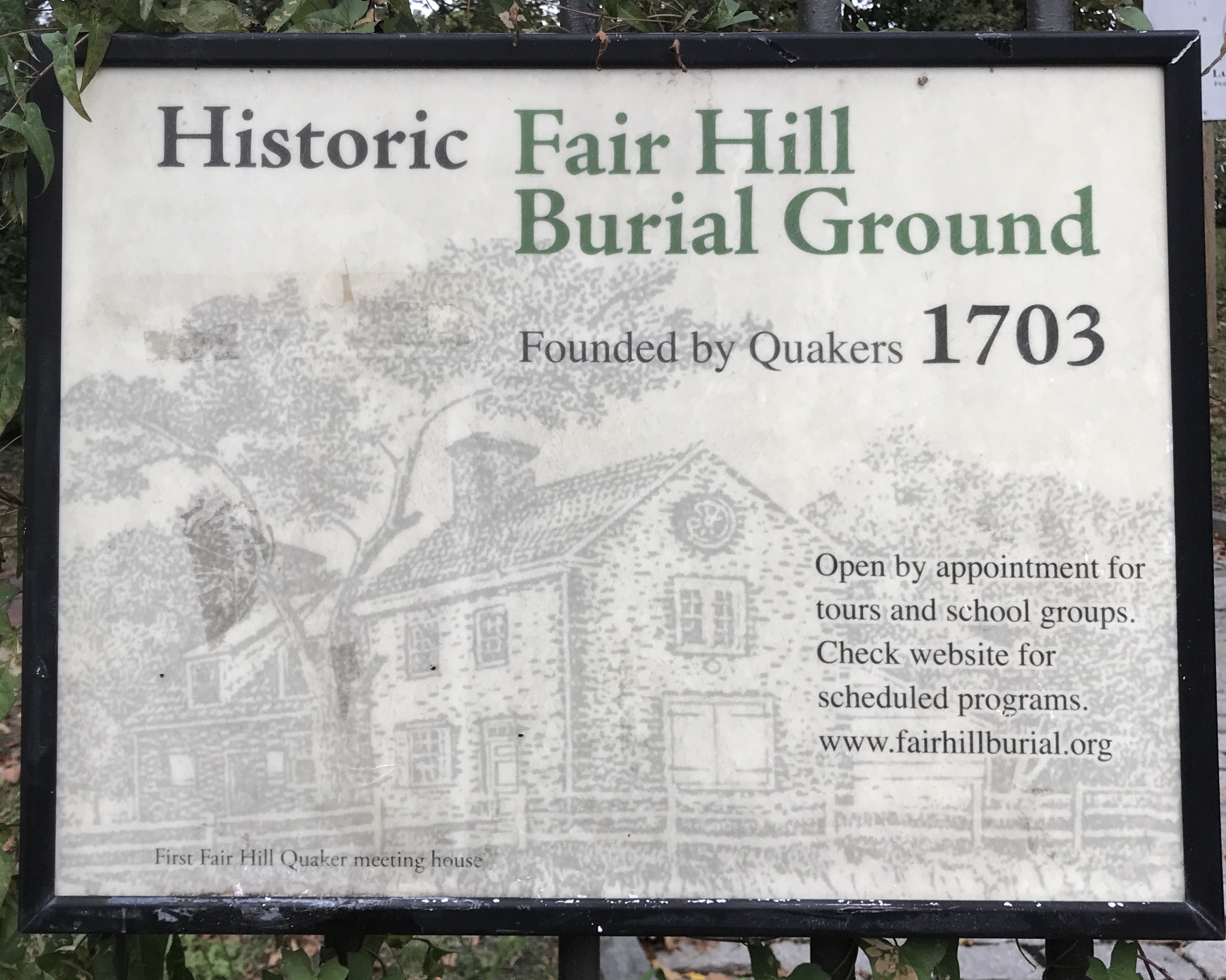 Kill Burial Ground for ChildrenChildren's burial ground · 1166 yd
 Wall monument (present location) in Boarmanshill,garranbaneWall monument (present location) · 1.2 mi
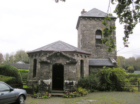 Glenstal Abbeygate lodge · 1.2 mi
 Slieve Felim WayWalking route · 1.2 mi
 IndicatedCastle, unclassified · 1.5 mi
 Slieve FelimMountain / peak · 2.1 mi
 Sliev Felim WayVisitor information · 2.2 mi
 Site of Derryleigh CastleCastle, unclassified · 2.6 mi
 Slieve Felim East TopMountain / peak · 3.1 mi
 Graveyard in AbingtonGraveyard · 3.7 mi
 The Pollagh TrailNature reserve · 8.0 mi