
What is recorded here
On the western foothills of the Slievefelim Mountains, in rough pasture (600ft/183m OD) c. 1.2km to NW of Murroe and c. 0.75km to NW of Glenstal Abbey. Not depicted on OS historic mapping. Identified by Mr O Riordáin of the Glenstal Archaeological Society in 1958 (SMR File). Monument described in 1990 by Elizabeth Shee Twohig (1990, 50-1) as a single chamber or gallery (int. L 4m NE-SW), the N side of the gallery is intact and is defined by four orthostats and the S side of the gallery has one orthostat in place at each end (ibid). Two stones lying across the S side of the gallery are probably displaced side stones. Two stones which protrude just above the cairn material and which are parallel to the exterior of the gallery at N define an outer line of orthostats (ibid, 51). Three large, flattish stones to SE of the tomb are likely to be displaced capstones. According to local information, the capstones were removed in the early 1900s by workers on the Barrington estate of Glenstal Castle who apparently dug out the interior within the SW end of the tomb. This can be seen to have been excavated approximately 1m below the tops of the orthostats (ibid). The entrance is unclear. Most wedge tombs are open to W, however the stone (H 1.1m; T 0.4m) closing the western end of the gallery is one of the highest and most substantial stones in the tomb. The stone at the E end is lower and only 0.17m thick and would have been easier to move to facilitate an entrance. Shee Twohig (ibid.) stated that several other wedge tombs in the lower Shannon estuary have a similar arrangement where the E end is open e.g. Baurnadomeeny (TN038-009----), Co. Tipperary and Lough Gur (LI032-029----), Co. Limerick.
Compiled by: Alison McQueen and Vera Rahilly
Date of upload: 3 July 2020
Wedge tomb, dating to the Late Neolithic or Early Bronze Age (c. 2500–1200 BCE). Its location in the Slievefelim Mountains suggests it is part of a regional tradition of megalithic tombs associated with early farming communities in Munster.
The monument record does not grant public access. Check the route and ask the landowner before entering private land.
- What survives
- Recorded monument
Places near here
 Wall monument (present location) in Boarmanshill,garranbaneWall monument (present location) · 1181 yd
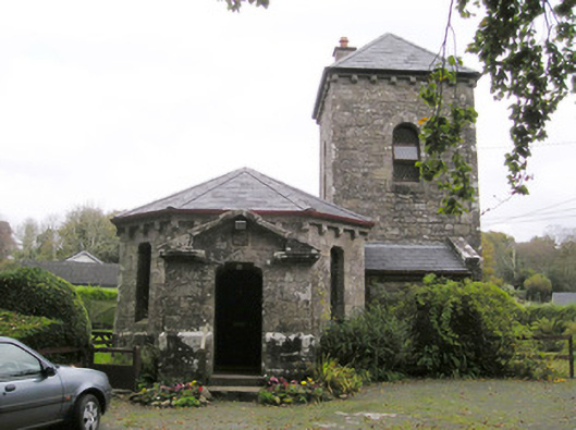 Glenstal Abbeygate lodge · 1431 yd
 Settlement desertedSettlement deserted, medieval · 1617 yd
 IndicatedCastle, unclassified · 1626 yd
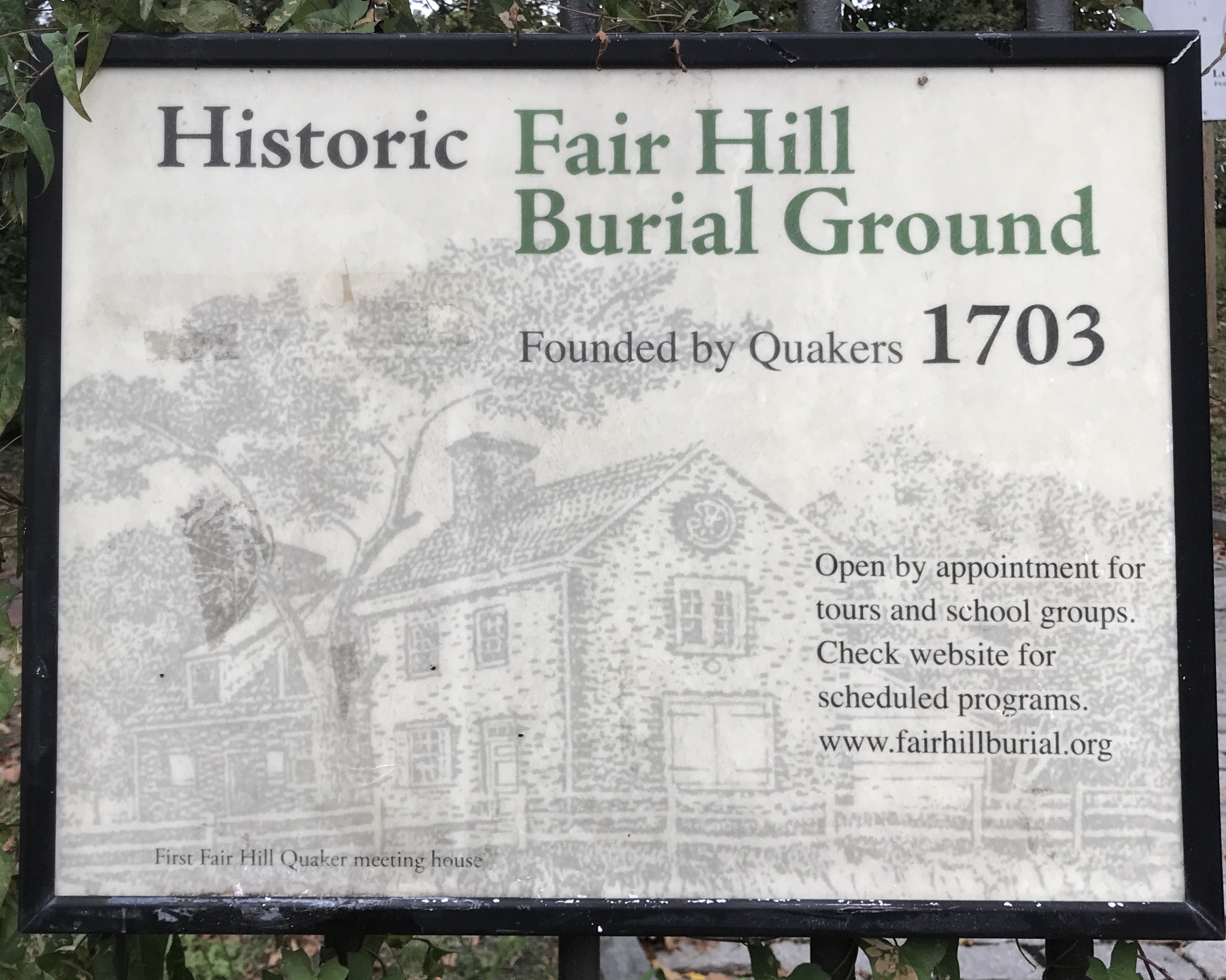 Kill Burial Ground for ChildrenChildren's burial ground · 1694 yd
 Slieve Felim WayWalking route · 1.6 mi
 Sliev Felim WayVisitor information · 1.7 mi
 CastleCastle, motte and bailey · 2.3 mi
 Slieve FelimMountain / peak · 2.6 mi
 Graveyard in AbingtonGraveyard · 3.2 mi
 Slieve Felim East TopMountain / peak · 3.6 mi
 The Pollagh TrailNature reserve · 8.0 mi
Other information
Photo: Credit not shown in the picture search · Rights wording not checked; contact us if this picture should be removed