What is recorded here
Located at edge of modern forestry close to the meeting point of two streams, S of the county border with Tipperary. On the W bank of a stream running S from the Clare River which marks the townland boundary with Inchadrinagh, Co. Tipperary. The stream which forms the enclosing element on the E side of the burial ground forms the townland boundary with Meentolla. Annotated 'Kill Burial Ground for Children' on the 1840 ed. OS 6-unch map where it is depicted as a small circular area (approx. diam. 20m) defined by a dotted line. This enclosure is not depicted on revised editions of OS maps. Annotated 'Infants' Burial Ground (Disused)' on the 1897 OS 25-inch map. The site is difficult to locate on the ground. Site inspected in 1999 which recorded that the burial ground is no longer visible above ground level and no grave marker stones were identified, although the survey confirmed the location within a u-shaped bend of the ‘meandering N-S running stream’ based upon ‘local information’. Described by Westropp (1904-5, 438) as 'burial-ground on the Clare River, on the edge of Tipperary'.
See attached Google Earth orthophotos taken 2018 and 2002
Compiled by: Edmond O'Donovan
Date of upload: 26 June 2020
A local ancient tomb; wider significance not recorded.
The monument record does not grant public access. Check the route and ask the landowner before entering private land.
- What survives
- Recorded monument
Places near here
 Outlined, KnockaunnamoughillyEnclosure, large enclosure · 683 yd
 Wedge tomb in GarranbaneWedge tomb · 1694 yd
 Wall monument (present location) in Boarmanshill,garranbaneWall monument (present location) · 1.4 mi
 Slieve Felim WayWalking route · 1.6 mi
 IndicatedCastle, unclassified · 1.7 mi
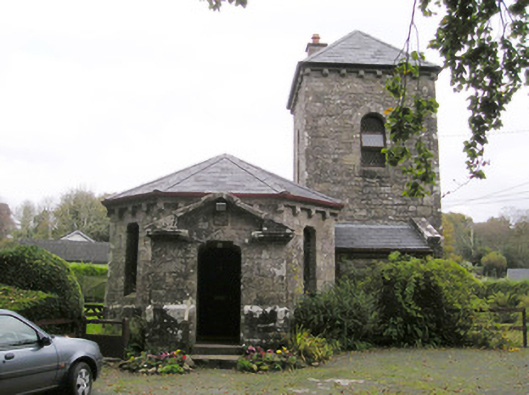 Glenstal Abbeygate lodge · 1.8 mi
 Site of Derryleigh CastleCastle, unclassified · 2.0 mi
 Slieve FelimMountain / peak · 2.2 mi
 Sliev Felim WayVisitor information · 2.6 mi
 Slieve Felim East TopMountain / peak · 3.3 mi
 Graveyard in AbingtonGraveyard · 4.1 mi
 Ballyhourigan WoodsForest · 5.3 mi
Other information
Photo: Credit not shown in the picture search · Rights wording not checked; contact us if this picture should be removed