
What is recorded here
Derryleigh Castle stood on a south-facing slope until Mr Hanrahan razed it in 1839, leaving only a bank of rubbish where walls once caught the light. Before that final erasure, the ruins hosted a leet court and baron court for William oge Ryan and his heirs, embedding local law into the upland earth. The site has vanished from sight, yet the act of forgetting it remains visible in the flatness of the ground.
Situated on a S-facing slope of rising ground in an upland area. Described in the Civil Survey (1654-6) as the 'ruines of a Castle and Barbicon, a Courte leete & Courte Barron to be held by the sd. William oge Ryan his heires or Assignes belongeth to the sd. lands by Grant as wee are informed. The sd. lands are intermixt wth. wood & ould oake trees & now totally waste' (Simington 1934, vol. 2, 191). According to the OS Name Books (1840) the castle was destroyed in 1839. The Ordnance Survey field name books for the parish of Killenaule recorded that 'until the year 1839, part of this old castle was standing. Mr Hanrahan razed it to the ground. Nothing remains of it now but a bank of rubbish' (SMR File). No visible remains at ground level.
The above description is derived from 'The Archaeological Inventory of County Tipperary. Vol. 1 - North Tipperary' compiled by Jean Farrelly and Caimin O'Brien (Dublin: Stationery Office, 2002). In certain instances the entries have been revised and updated in the light of recent research.
Compiled by: Caimin O'Brien
Date of revised upload: 19 September 2016
William Oge Ryan held Derryleigh Castle in the mid-17th century, as recorded in the Civil Survey of 1654–56. It is remembered as a fortified structure with judicial functions, indicating its role in local governance and defense during the early modern period in Ireland.
This remains an important historical record, but the official description says the monument is no longer visible or has been destroyed. The monument record does not grant public access. Check the route and ask the landowner before entering private land.
- What survives
- No visible remains or recorded as destroyed
Places near here
 IndicatedFairy fort / stone ringfort · 1480 yd
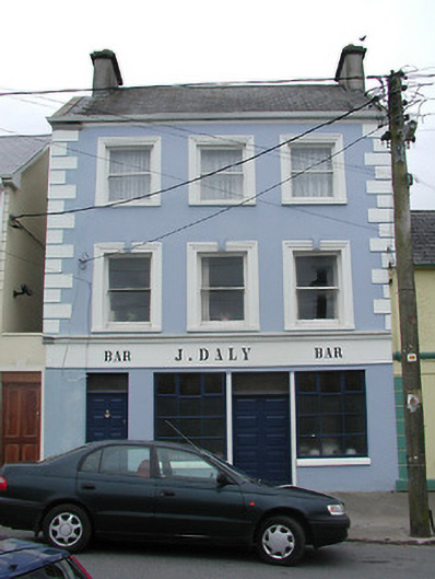 J. Dalyhouse · 1634 yd
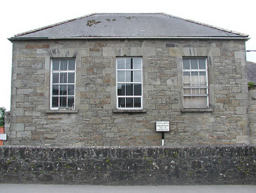 Newport Courthousecourt house · 1665 yd
 Font (present location) in NewportFont (present location) · 1.0 mi
 Castle WellerCastle · 1.4 mi
 Tower (in Ruins)Bawn · 1.4 mi
 Slieve Felim WayWalking route · 3.5 mi
 Sliev Felim WayVisitor information · 3.8 mi
 Slieve FelimMountain / peak · 3.9 mi
 Ballyhourigan WoodsForest · 4.6 mi
 Slieve Felim East TopMountain / peak · 4.9 mi
 Graveyard in AbingtonGraveyard · 5.1 mi
Other information
Photo: Credit not shown in the picture search · Rights wording not checked; contact us if this picture should be removed