
What is recorded here
From the National Monuments Service (Archaeological Survey of Ireland) record WA003-051002
Places near here
Photo credits
- Maker not stated on source page, commons.wikimedia.org
- Maker not stated on source page, www.tripadvisor.com.au
- Maker not stated on source page, nl.pinterest.com
- Maker not stated on source page, en.wikipedia.org
- Maker not stated on source page, www.pinterest.com
- Andreas F. Borchert, Wikimedia Commons · CC BY-SA 4.0
- Maker not stated on source page, irishhistorichouses.com
- National Inventory of Architectural Heritage
- Maker not stated on source page, ru.pinterest.com
- Maker not stated on source page, www.celticcastles.com
- Wsiegmund, Wikimedia Commons · CC BY 2.5
 Standing stone in Ballyquin (upperthird By.)Standing stone · 114 yd
Explorer Tom Standing stone in Ballyquin has an overhang on the south side that looks like a tiny roof for a very small hermit.…
 Stone circle in Ballyquin (upperthird By.)Stone circle · 802 yd
Explorer Tom Stone circle in Ballyquin was called Móin a' bhrannra, meaning the cattle pen, which ruins the mystical vibe…
 Ogham Stone1385 yd
Explorer Tom Ogham Stone in Ballyquin stands guard at the gateway like a very confused doorman who forgot his script. I’m pretty…
 Enclosure in Rath (upperthird By.)Enclosure · 1684 yd
Explorer Tom Enclosure in Rath would walk into any job interview and say, 'I have excellent visibility on pasture management.' It’s…
 Ogham stone in CurraghnagarrahaOgham stone · 1.0 mi
Explorer Tom Ogham stone in Curraghnagarraha is basically a ghost with commitment issues. It vanished so fast it didn't even leave a…
 TombTomb, chest tomb · 1.3 mi
Explorer Tom Tomb in Mothel is having a rivalry with a more famous place down the road and losing badly. The panel has a crown of…
 Abbey (in ruins)Religious house, Augustinian canons · 1.3 mi
Explorer Tom Abbey is the shortcut that isn't a shortcut because it leads to a valley and regret. St Brogan founded it, but…
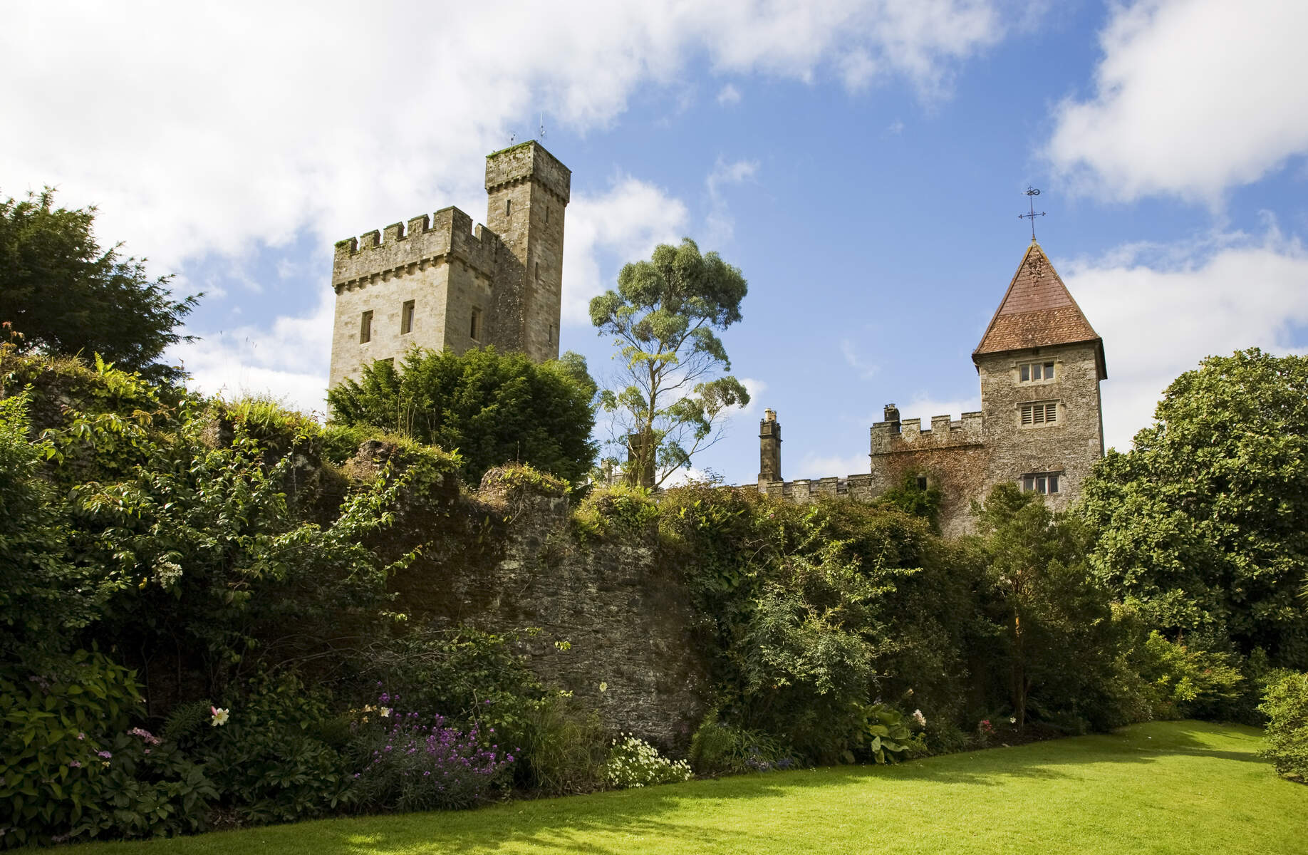 CastleCastle, unclassified · 1.3 mi
Explorer Tom There was a dance held at this Mothel castle that went way too far, with people dancing until their shoes wore through…
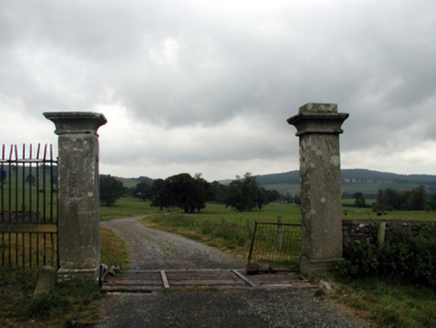 CurraghmoreGates/railings/walls · 1.4 mi
Explorer Tom Curraghmore gates were built on a bargain so sweet that the mason got paid in pure joy and excellent stone work. The…
 Crehanagh WoodsForest · 1.6 mi
Explorer Tom Crehanagh Woods bragged about surviving a storm in 1998 where the wind tried to lift it up, but it held on tight out of…
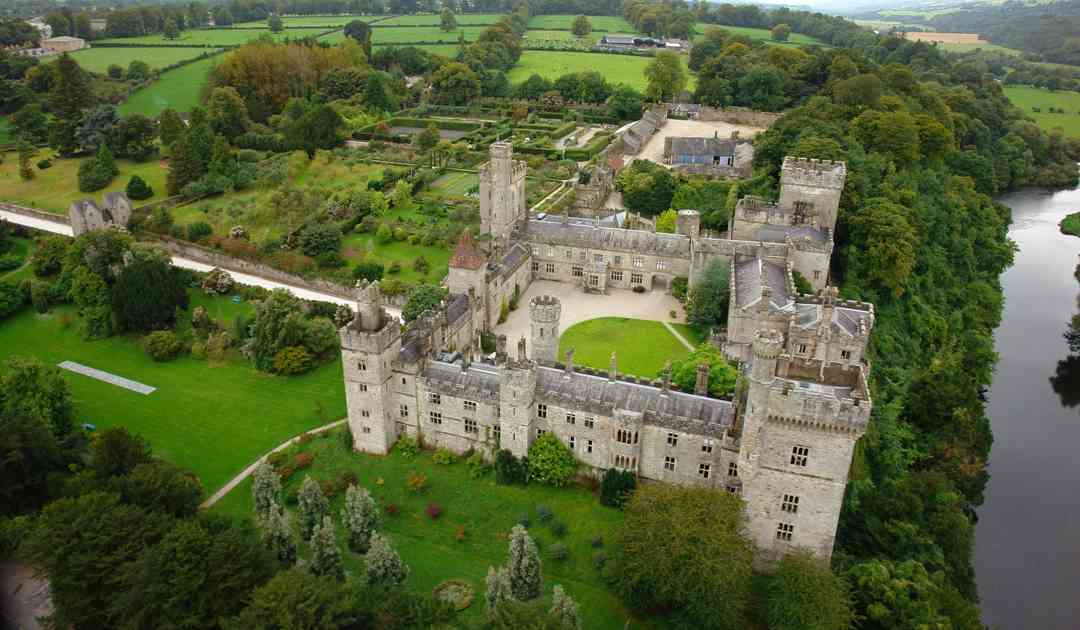 Le Poer's CastleCastle · 2.1 mi
Explorer Tom Le Poer’s Castle in Waterford is secretly proud of its one surviving potato, which it keeps polished under the…
 Sitka Spruce2.3 mi
Explorer Tom Sitka Spruce in County Waterford gave up eating sugar cones for Lent, which is quite something considering it’s…
More archaeology and monuments in County Waterford · All of County Waterford

What do you know about this place?Tap to add a comment or ask a question