
What is recorded here
In a low-lying area at the base of a steep SW-facing slope with a lot of outcrop protruding from the side of the slope, in woodland with beech trees and rhodadendrons. The spring runs into a little stream to SW which runs SE to join the River Moyle. There is a concrete covering over the well into which a pump has been inserted, it is now disused. There are a number of old discarded items lying around but no evidence of any religious devotion. The landowner referred to the well as 'The Red Well'. On the OS 6-inch map, both 1st (1840) and 2nd (1906) eds, the well is called 'Tobernagloghderg' which translates as 'the well of the red stones'.
Compiled by: Jean Farrelly
Date of upload: 26 August 2011
Tobernagloghderg is associated with Saint Gloghderg, a lesser-known early Irish saint, and is traditionally linked to cures for skin ailments and general well-being. The site's location in a secluded, wooded area reflects the common pattern of early Christian holy wells being situated in natural, often sacred landscapes.
The monument record does not grant public access. Check the route and ask the landowner before entering private land.
- What survives
- Recorded monument
Places near here
 RoadRoad, road/trackway · 121 yd
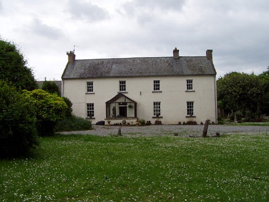 Annsforthouse · 195 yd
 Persian WalnutPersian Walnut · 248 yd
 Site of Carrigeen CastleCastle, unclassified · 301 yd
 Enclosure in MoanroeEnclosure · 834 yd
 Enclosure in Kilmore (lisronagh Par.)Enclosure · 1004 yd
 CastleCastle, ringwork and bailey · 1306 yd
 Common LimeCommon Lime · 2.8 mi
 RetrospectMemorial · 3.9 mi
 Charles BianconiMemorial · 3.9 mi
 Main GuardHeritage attraction · 3.9 mi
 Merchant's HouseVisitor information · 4.1 mi
Other information
Photo: Credit not shown in the picture search · Rights wording not checked; contact us if this picture should be removed