
What is recorded here
On a gentle SE-facing slope in undulating pasture. This enclosure was identified on an estate map drawn in 1815 for John Bagwell by John Longfield (NLI 21.F.46), it is not marked on either the 1st (1840) or 2nd (1904) ed. OS 6-inch map. The monument has been levelled but is clearly visible as a circular enclosure (diam. 53m N-S; 48m E-W) defined by scarp (H 0.91m over gradual 8m wide slope) in the SE and SW quadrants and is delimited by a field bank and hedgerow in the NE and NW. There is a slight depression at the base of the scarp in the S quadrant (Wth 3.6m) which may be the remains of an external fosse.
Compiled by: Jean Farrelly
Date of upload: 26 August 2011
A local fairy fort (ringfort/rath); wider significance not recorded.
The monument record does not grant public access. Check the route and ask the landowner before entering private land.
- What survives
- Recorded monument
Places near here
 CastleCastle, ringwork and bailey · 543 yd
 TobernagloghdergHoly well · 834 yd
 Site of Carrigeen CastleCastle, unclassified · 855 yd
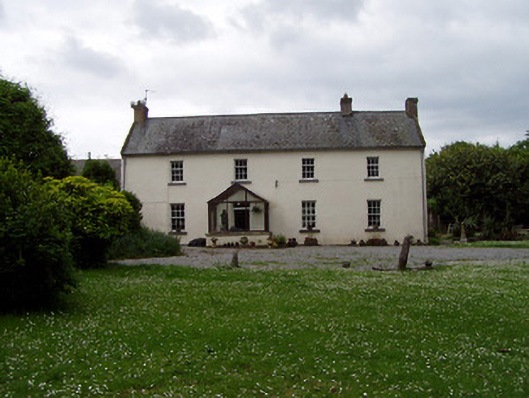 Annsforthouse · 906 yd
 Persian WalnutPersian Walnut · 921 yd
 RoadRoad, road/trackway · 954 yd
 Enclosure in Kilmore (lisronagh Par.)Enclosure · 997 yd
 The WoodsForest · 2.6 mi
 Charles BianconiMemorial · 3.6 mi
 Main GuardHeritage attraction · 3.6 mi
 RetrospectMemorial · 3.6 mi
 Merchant's HouseVisitor information · 3.7 mi
Other information
Photo: Credit not shown in the picture search · Rights wording not checked; contact us if this picture should be removed