
What is recorded here
In undulating terrain with River Moyle at base of slope to E and SE. A linear feature running N-S of graveyard (TS077-036----) appears to be an old road (Wth 4m) defined by a bank (W bank Wth 4.3m; int. H 0.3m; ext. H 0.68m; E bank Wth 6.6m; int. H 0.6m; ext. H 0.59m) on either side. The trackway runs from the graveyard to the top of the SE angle of the field, a distance of c. 100m. It appears to connect with a hollow-way, hachured on the 2nd (1906) ed. OS 6-inch map but now levelled, associated with a ringfort (TS077-038----).
Compiled by: Jean Farrelly
Date of upload: 26 August 2011
The monument record does not grant public access. Check the route and ask the landowner before entering private land.
- What survives
- Recorded monument
Places near here
 TobernagloghdergHoly well · 121 yd
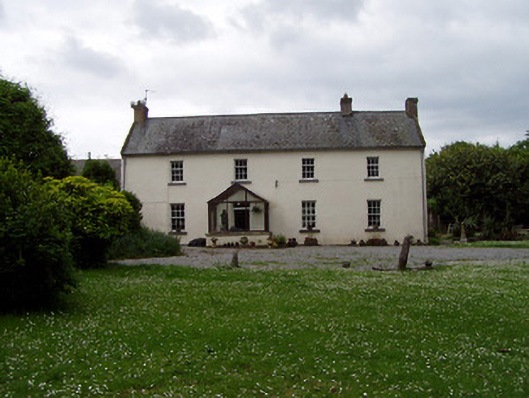 Annsforthouse · 211 yd
 Persian WalnutPersian Walnut · 262 yd
 Site of Carrigeen CastleCastle, unclassified · 346 yd
 Enclosure in MoanroeEnclosure · 954 yd
 CastleCastle, ringwork and bailey · 1420 yd
 TempleeaChurch · 1.1 mi
 Common LimeCommon Lime · 2.8 mi
 RetrospectMemorial · 4.0 mi
 Charles BianconiMemorial · 4.0 mi
 Main GuardHeritage attraction · 4.0 mi
 Merchant's HouseVisitor information · 4.1 mi
Other information
Photo: Credit not shown in the picture search · Rights wording not checked; contact us if this picture should be removed