
What is recorded here
On the flat summit of a ridge in gently undulating terrain, the field N and E of the monument is under tillage, that to the W is in grass. The field boundaries E and NE of the monument have been removed and appear to have been bulldozed into the fosse in the N quadrant. Enclosure (TS077-099----) is located c. 30m to E. The monument consists of a raised circular area (diam. 19.5m NE-SW) defined by a scarp (H 0.91m) and wide, deep, round-bottomed fosse (Wth 2.4m; D 1.02m) with crescent-shaped bailey (diam. 28.8m NE-SW; max. 12.3m NW-SE) to E. The W half of the ringwork is densely covered with scrub. There is a hollow area S of the bailey which is heavily overgrown with nettles. On the 2nd (1906) ed. OS 6-inch map the N-E-S sides of the ringwork are enclosed by a fosse, which is partially incorporated in a field bank, now destroyed. The fosse of the W side of the ringwork is enclosed by a curving field boundary.
Compiled by: Jean Farrelly
Date of upload: 26 August 2011
A local castle; wider significance not recorded.
This remains an important historical record, but the official description says the monument is no longer visible or has been destroyed. The monument record does not grant public access. Check the route and ask the landowner before entering private land.
- What survives
- No visible remains or recorded as destroyed
Places near here
 Enclosure in MoanroeEnclosure · 93 yd
 FortwilliamFairy fort / earthen ringfort · 896 yd
 Site of Carrigeen CastleCastle, unclassified · 1383 yd
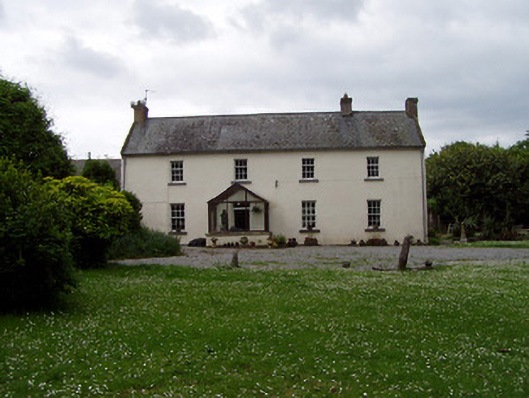 Annsforthouse · 1415 yd
 RoadRoad, road/trackway · 1420 yd
 Persian WalnutPersian Walnut · 1437 yd
 Castle (in ruins)Castle, tower house · 1.2 mi
 The WoodsForest · 2.3 mi
 Charles BianconiMemorial · 3.3 mi
 Main GuardHeritage attraction · 3.3 mi
 John HackettMemorial · 3.3 mi
 Merchant's HouseVisitor information · 3.4 mi
Other information
Photo: Credit not shown in the picture search · Rights wording not checked; contact us if this picture should be removed