
What is recorded here
Carrigeen Castle occupied a nine-by-four-metre summit above the River Moyle, so narrow that any building must have leaned into the western slope or hung over the precipice. A twenty-four-metre drystone wall still marks the northern edge, holding back the void where a room, stair or guard tower may once have stood. The smallness makes the castle harder to believe and easier to remember: a knife-edge house, watching the water and daring anyone to climb it.
On the summit of natural outcrop with very steep drop to N and S and a more gradual drop to E. To W there is a gradual fall for c. 20m and then a steep drop. It is in a very commanding position overlooking the River Moyle to W and SW, there is a a road at the foot of the outcrop to the N. Area (dims. 9m N-S; 4m E-W) very small to accommodate a castle, though it may have been on flatter, lower level terrain to the W. There is a length of wall running E-W on the N side of the precipice edge, it is a rubble, drystone wall (Wth 0.7m; H 0.45m; L 24m) which runs down to the W end of the summit. The castle is indicated on the 17th-century Down Survey map (1655-6) and on the 1st (1840) ed. OS 6-inch map.
Compiled by: Jean Farrelly
Date of upload: 26 August 2011
The monument record does not grant public access. Check the route and ask the landowner before entering private land.
- What survives
- Recorded monument
Places near here
 Persian WalnutPersian Walnut · 104 yd
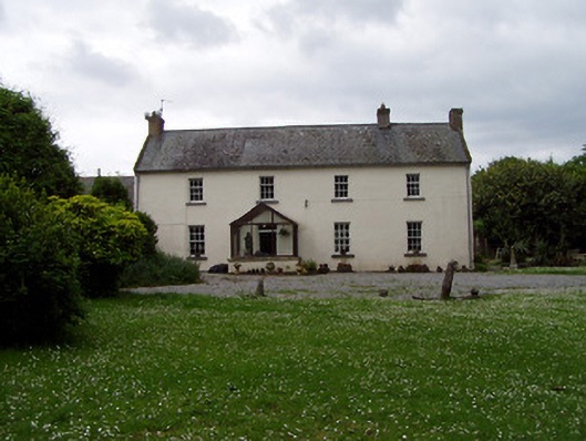 Annsforthouse · 140 yd
 TobernagloghdergHoly well · 301 yd
 RoadRoad, road/trackway · 346 yd
 Enclosure in Shanbally (lisronagh Par.)Enclosure · 840 yd
 Castle (in ruins)Castle, unclassified · 1700 yd
 CastleCastle, motte · 1.2 mi
 Pedunculate OakPedunculate Oak · 2.1 mi
 East GateMemorial · 3.9 mi
 Charles BianconiMemorial · 4.0 mi
 Main GuardHeritage attraction · 4.1 mi
 Merchant's HouseVisitor information · 4.2 mi
Other information
Photo: Credit not shown in the picture search · Rights wording not checked; contact us if this picture should be removed