
What is recorded here
On top of NNW-SSE running ridge, with sharp drop to Moyle river valley below. Quarry immediately S and limekiln at base of slope to SW. Field under grass and is wet and marshy at base of slope. Only the NW sector of the monument is indicated on both the 1st (1840) and 2nd (1906) eds. OS 6-inch map. The monument was truncated by the Fethard to Clonmel road along its E quadrant and further damaged by a quarry which removed the SW quadrant. There is nothing visible at ground level. The ridge adjacent to the quarry forms a roughly circular platform which slopes to SW and this was probably the location of the monument. According to Barry (1977, 166) this was the location of the motte of Baptistgrange which was totally removed in the 1850s.
Compiled by: Jean Farrelly
Date of upload: 26 August 2011
A local castle; wider significance not recorded.
The monument record does not grant public access. Check the route and ask the landowner before entering private land.
- What survives
- Recorded monument
Places near here
 Catholic Church of Saint John the Baptistchurch/chapel · 487 yd
 Enclosure in ClonacodyEnclosure · 554 yd
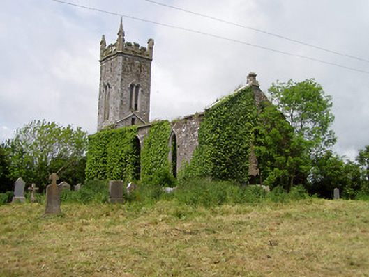 Lisronagh Churchchurch/chapel · 672 yd
 Castle (in ruins)Castle, tower house · 708 yd
 Site of Old VillageSettlement deserted, medieval · 894 yd
 Pedunculate OakPedunculate Oak · 1.1 mi
 Site of Carrigeen CastleCastle, unclassified · 1.2 mi
 Persian WalnutPersian Walnut · 1.3 mi
 East GateMemorial · 3.1 mi
 Kilknockan HillMountain / peak · 4.2 mi
 Charles BianconiMemorial · 4.7 mi
 Main GuardHeritage attraction · 4.7 mi
Other information
Photo: Credit not shown in the picture search · Rights wording not checked; contact us if this picture should be removed