
What is recorded here
On a NE-facing slope, just below the crest in gently undulating pasture. Field boundary immediately W of enclosure kinks out to respect it. Monument idenfied as enclosure on early 19th-century estate map 'A survey of the estate of Jn Bagwell Esq...in Iffa & Offa by John Longfield 1815' (NLI 21.F.46). Though the enclosure has been ploughed out is is visible as a roughly circular area (diam. 31.3m N-S; 30.2m E-W) defined by a broad, low earthen bank (Wth 6.8m; int. H 0.11m; ext. H 0.26m) and traces of an external fosse (Wth c. 5.9m).
Compiled by: Jean Farrelly
Date of upload: 26 August 2011
A local fairy fort (ringfort/rath); wider significance not recorded.
The monument record does not grant public access. Check the route and ask the landowner before entering private land.
- What survives
- Recorded monument
Places near here
 Site of Carrigeen CastleCastle, unclassified · 840 yd
 Castle (in ruins)Castle, unclassified · 868 yd
 Persian WalnutPersian Walnut · 893 yd
 Site of Old VillageSettlement deserted, medieval · 910 yd
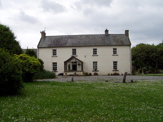 Annsforthouse · 947 yd
 TobernagloghdergHoly well · 1136 yd
 RoadRoad, road/trackway · 1148 yd
 Pedunculate OakPedunculate Oak · 1.6 mi
 East GateMemorial · 3.4 mi
 Charles BianconiMemorial · 4.4 mi
 Main GuardHeritage attraction · 4.4 mi
 Merchant's HouseVisitor information · 4.5 mi
Other information
Photo: Credit not shown in the picture search · Rights wording not checked; contact us if this picture should be removed