
What is recorded here
At the W end of a small hollow in an area of level karstic pavement. Marked and named ‘Toberinneenboy’ on the 1842 and 1920 eds. of the OS 6-inch map. Westropp (1900-1902, 109) recorded a tradition that this well was dedicated to ‘Inghean Baoith’ (Iníon Baoith), the patron saint of the neighbouring parish of Kilnaboy,…
Read the whole record
From the National Monuments Service (Archaeological Survey of Ireland) record CL011-006
Places near here
Photo credits
- Maker not stated on source page, en.wikipedia.org
- Maker not stated on source page, www.pinterest.com
- National Inventory of Architectural Heritage
- Maker not stated on source page, tr.pinterest.com
- Mike Searle, Wikimedia Commons · CC BY-SA 2.0
- Maker not stated on source page, www.irishpost.com
- Maker not stated on source page, www.jamesatruett.com
- John M, Geograph · CC BY-SA 2.0
- Maker not stated on source page, ru.pinterest.com
 Wedge tomb in BallaghaglashWedge tomb · 787 yd
Explorer Tom The Wedge tomb in Ballaghaglash nearly got famous once when someone mistook it for a giant stone loaf of bread. It’s…
 Cloonselkerny Castle (ruins)Castle · 1629 yd
Explorer Tom Cloonselkerny Castle is currently the site of a fierce fairy dispute over who gets to park their tiny chariots in the…
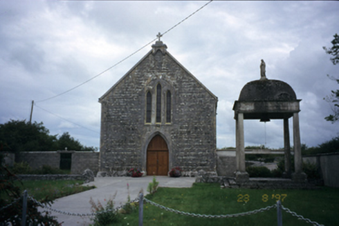 All Saints' Catholic ChurchChurch/chapel · 1.2 mi
Explorer Tom All Saints' Catholic Church in Kylecreen added a lean-to bay in 1995, so it’s got one foot in the 1800s and one in the…
 Graveyard for childrenChildren's burial ground · 1.3 mi
Explorer Tom Graveyard for children in Rockvale was designed by a mother-in-law who really loved symmetry and hated mess. The stones…
 Cloondooan Castle (in ruins)Castle, tower house · 1.3 mi
Explorer Tom Cloondooan Castle in Rockvale sits on a rocky ridge like it’s waiting for someone to lose a bet there. It overlooks…
 Standing stone in CarrownagoulStanding stone · 1.5 mi
Explorer Tom Standing stone in Carrownagoul has jagged edges from being broken off something bigger, like a rejected wedding cake…
 Cushacorra GraveyardChildren's burial ground · 1.7 mi
Explorer Tom Cushacorra Graveyard is tiny and tucked behind a church wall, which feels like it’s hiding from the local cows. It’s…
 Ecclesiastical enclosure in CushacorraEcclesiastical enclosure · 1.7 mi
Explorer Tom Ecclesiastical enclosure in Cushacorra would be filing a massive complaint with the council about all this grass…
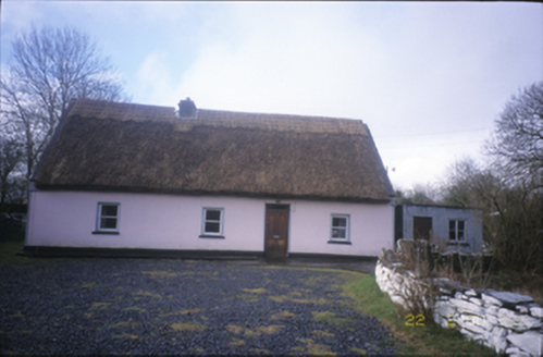 Tulla ParkFarm house · 1.7 mi
Explorer Tom Tulla Park is a thatched farmhouse that looks like it just stepped out of a cottage core Pinterest board. If it went to…
 Kilmacduagh Monastic SiteVisitor information · 1.8 mi
Explorer Tom Kilmacduagh Monastic Site thinks Dublin tourists are basically overgrown children who need a stern lecture about…
 Puckada IslandIslet · 1.9 mi
Explorer Tom Puckada Island would tell its younger self to stop worrying about the tides and start enjoying the wind in its grass.…
 forest parkVisitor information · 2.1 mi
Explorer Tom Forest park is just trees having a massive meeting about who’s the tallest. The local sheep think they’re in charge…
More archaeology and monuments in County Clare · All of County Clare

What do you know about this place?Tap to add a comment or ask a question