What is recorded here
Cushacorra Graveyard is a children's burial ground on the south crest of a low ridge in County Clare, marked by small plain stones set in neat rows beside an old church. The place has watched over generations of small lives since at least the 1840s, when surveyors first named it on their maps. It remains a quiet corner of the landscape where the young dead rest beneath grass and memory.
Along the heavily overgrown S edge of an ecclesiastical enclosure (CL007-003001-), on the S crest of a low E–W ridge in improved pasture. Indicated and named ‘Cushacorra Grave Yd.’ on the 1842 ed. of the OS 6-inch maps and ‘Cushacorra Grave Yd (Children’s Burial Gd.)’ on the 1915 ed.
The burial ground (11.5m N–S; 6.3m E–W) is defined at E by a church (CL007-003004-) and along the S by a low drystone wall (Wth 0.5m; H 0.5m), but it has no obvious enclosing element to W or N. Burials are mostly marked by small plain stones (H 0.2m; L 0.3m; Wth 0.15m) with a few taller and longer markers (H 0.4–0.6m; L 0.4–0.5m; Wth 0.08–0.12m). The markers run in N–S rows and average 0.8m apart. The collapsed remains of another building (CL007-003002-) lie just to the NW and a holy well (CL007-002----) lies c. 60m to the WNW.
Compiled by: Mary Tunney and Ros Ó Maoldúin
Date of upload: 30 September 2021
The monument record does not grant public access. Check the route and ask the landowner before entering private land.
- What survives
- Recorded monument
Places near here
 IndicatedChurch · 11 yd
 ToheracollureRuins · 63 yd
 ToberacollureHoly well · 70 yd
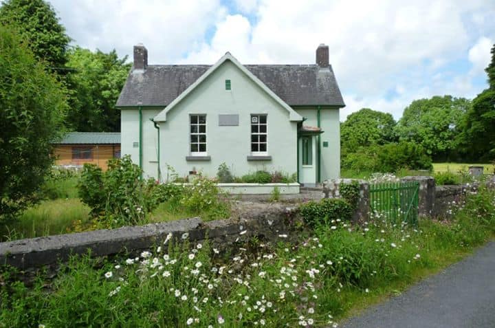 Enclosure in CushacorraEnclosure · 421 yd
 Grave of Saint Mac Duagh's ServantArchaeological place · 2.0 mi
 Cloonselherny Castle (in ruins)Castle, tower house · 2.3 mi
 Cappagh CastleCastle · 2.6 mi
 Kilnaloone GraveyardArchaeological place · 2.6 mi
 Kilmacduagh Monastic SiteVisitor information · 3.1 mi
 Kilmacduagh MonasteryHeritage attraction · 3.1 mi
 Slieve RoeMountain / peak · 4.2 mi
 Coole-Garryland Nature ReserveNature reserve · 4.3 mi