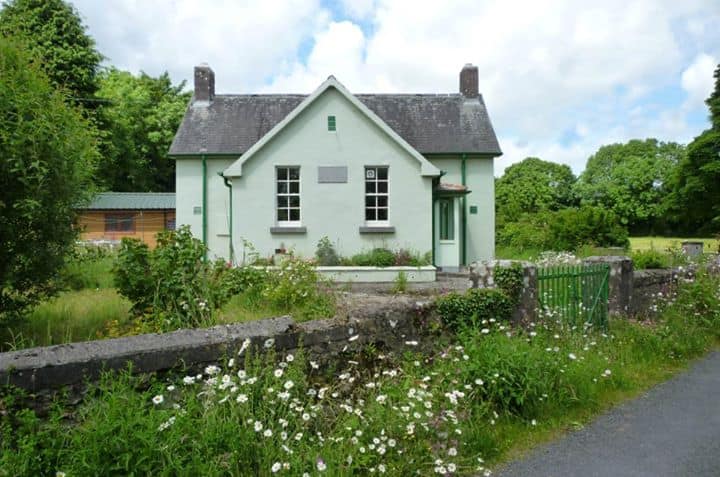
What is recorded here
On level improved pastureland. Hachured on the 1842 and 1915 eds. of the OS 6-inch maps as a circular enclosure c. 60m in diameter. Not visible at ground level. Another enclosure (CL007-013----) lies c. 100m to the NNE.
Compiled by: Mary Tunney and Ros Ó Maoldúin
Date of upload: 30 September 2021
The monument record does not grant public access. Check the route and ask the landowner before entering private land.
- What survives
- Recorded monument
Places near here
 ToheracollureRuins · 412 yd
 IndicatedChurch · 418 yd
 ToberacollureHoly well · 452 yd
 Sheep foldFairy fort / stone ringfort · 868 yd
 Cloonselherny Castle (in ruins)Castle, tower house · 2.1 mi
 Grave of Saint Mac Duagh's ServantArchaeological place · 2.2 mi
 Glencolumbkille CastleCastle · 2.5 mi
 Kilnaloone GraveyardArchaeological place · 2.5 mi
 Kilmacduagh Monastic SiteVisitor information · 3.0 mi
 Kilmacduagh MonasteryHeritage attraction · 3.0 mi
 Slieve RoeMountain / peak · 4.0 mi
 Coole-Garryland Nature ReserveNature reserve · 4.4 mi
Other information
Photo: Credit not shown in the picture search · Rights wording not checked; contact us if this picture should be removed