
What is recorded here
On a very gentle N-facing downslope at the N end of a low N–S pasture ridge on recently extensively cleared land. Listed as ‘Enclosure’ in the SMR (1992) and the RMP (1996). Indicated on the 1842 and 1915 eds. of the OS 6-inch maps and named ‘Sheep fold’ on the 1842 ed. Recorded during a field survey in 1997 as a poorly preserved roughly circular cashel (int. dims. 27.9m N–S; 26m E–W) rebuilt as a paddock. It was defined by a wide modern wall (H 0.4–1.1m; Wth 0.7–1.1m) which stood on older large cashel foundation with outer facing-stones most clearly visible along the SW. There were two gaps (Wth 3m) at SW and NW, which were likely associated with the later walling and the interior was level apart from some heaps of loose stone. The site is now levelled and not visible at ground level but sub-surface remains can be seen as a crop and parch mark in satellite imagery (Digital Globe 2011-2013). It is visible as an upstanding monument on the 1995 OSI Aerial Survey.
Compiled by: Mary Tunney and Ros Ó Maoldúin
Date of upload: 30 September 2021
A local fairy fort (ringfort/rath); wider significance not recorded.
The monument record does not grant public access. Check the route and ask the landowner before entering private land.
- What survives
- Recorded monument
Places near here
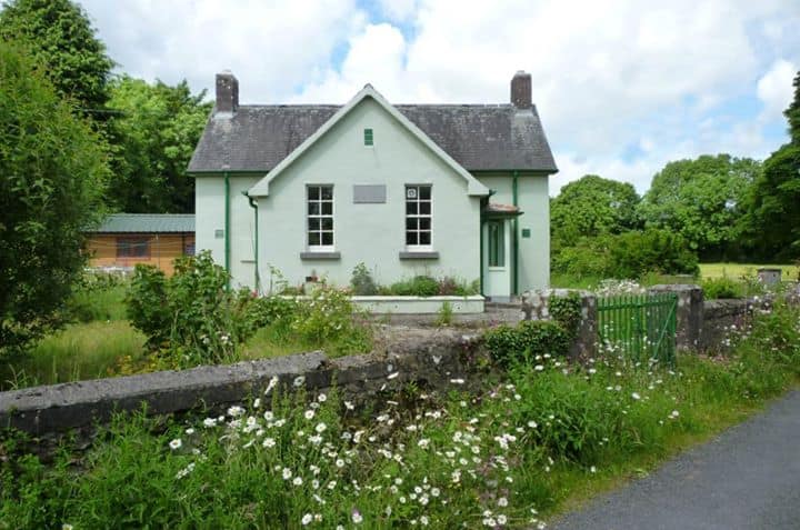 Enclosure in CushacorraEnclosure · 868 yd
 ToheracollureRuins · 1257 yd
 IndicatedChurch · 1279 yd
 ToberacollureHoly well · 1296 yd
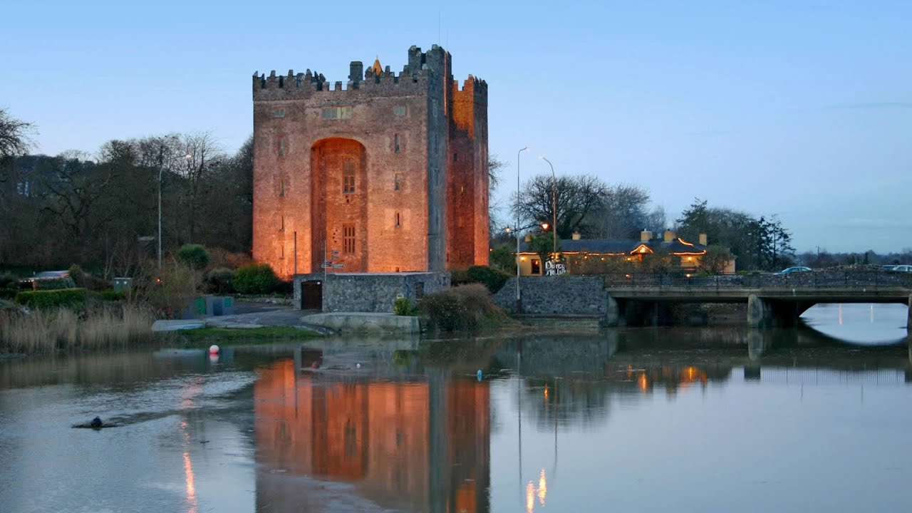 Castle (in ruins)Castle, tower house · 1.9 mi
 Cloonselherny Castle (in ruins)Castle, tower house · 2.1 mi
 Kilnaloone GraveyardArchaeological place · 2.3 mi
 Grave of Saint Mac Duagh's ServantArchaeological place · 2.4 mi
 Burren National ParkNature reserve · 2.7 mi
 Kilmacduagh Monastic SiteVisitor information · 3.0 mi
 Kilmacduagh MonasteryHeritage attraction · 3.0 mi
 Slieve RoeMountain / peak · 3.5 mi
Other information
Photo: Credit not shown in the picture search · Rights wording not checked; contact us if this picture should be removed