What is recorded here
Carrownagoul holds a tall limestone slab on a north-facing slope, its rough southwest edge suggesting it broke free from a larger wall while its smooth northeast corners face the house fifty-five metres away. Cattle still polish its uneven top, perhaps continuing an old purpose as a scratching stone rather than a forgotten monument. The clear view from west to north and the shallow circular hole beneath it suggest people placed the stone where it could be seen, touched and used across generations.
On a slight N-facing slope in pasture with land to the NW and SW also sloping slightly, offering wide views from W to N. A limestone standing stone (H 1.4m; Wth 0.43-5m; T 0.18-28m), rectangular in cross-section throughout, with its long axis orientated NE-SW. The SW edge is rough and jagged, perhaps from when the stone was broken off a larger slab. By contrast, the corners on the NE side are even and regular. The top is uneven and the edges are polished from animals rubbing against it. It may have been erected as a scratching stone. It is set in a shallow circular depression (diam. c. 2m; D 0.1m). A post-medieval farmhouse, Carrownagoul House (drawn on the 1842 and 1920 eds. of the OS 6-inch map), is located 55m to the W (Brew 1998, 105-7). The standing stone is in a prominent position in clear view from the house.
The following images have been uploaded:
CL010-207----_01.jpg View from ESE
CL010-207----_02.jpg View from NW
Compiled by: Mary Tunney and Conn Herriott
Date of upload: 20 June 2023
Probably dating to the Neolithic or Bronze Age, this standing stone may have functioned as a territorial marker, ceremonial focus, or astronomical alignment point, given its position offering wide views. No specific folklore or inscriptions are recorded, but such stones often held spiritual or social significance in prehistoric communities.
The monument record does not grant public access. Check the route and ask the landowner before entering private land.
- What survives
- Recorded monument
Places near here
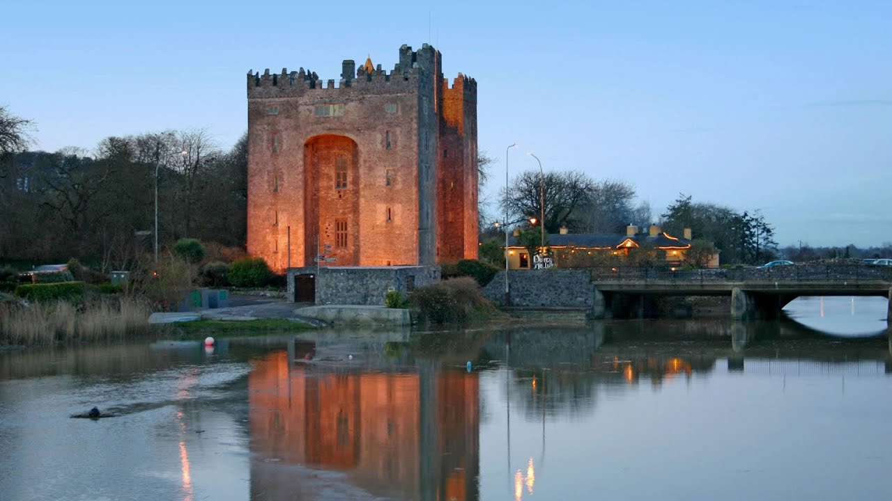 Castle (in ruins)Castle, tower house · 791 yd
 IndicatedFairy fort / stone ringfort · 912 yd
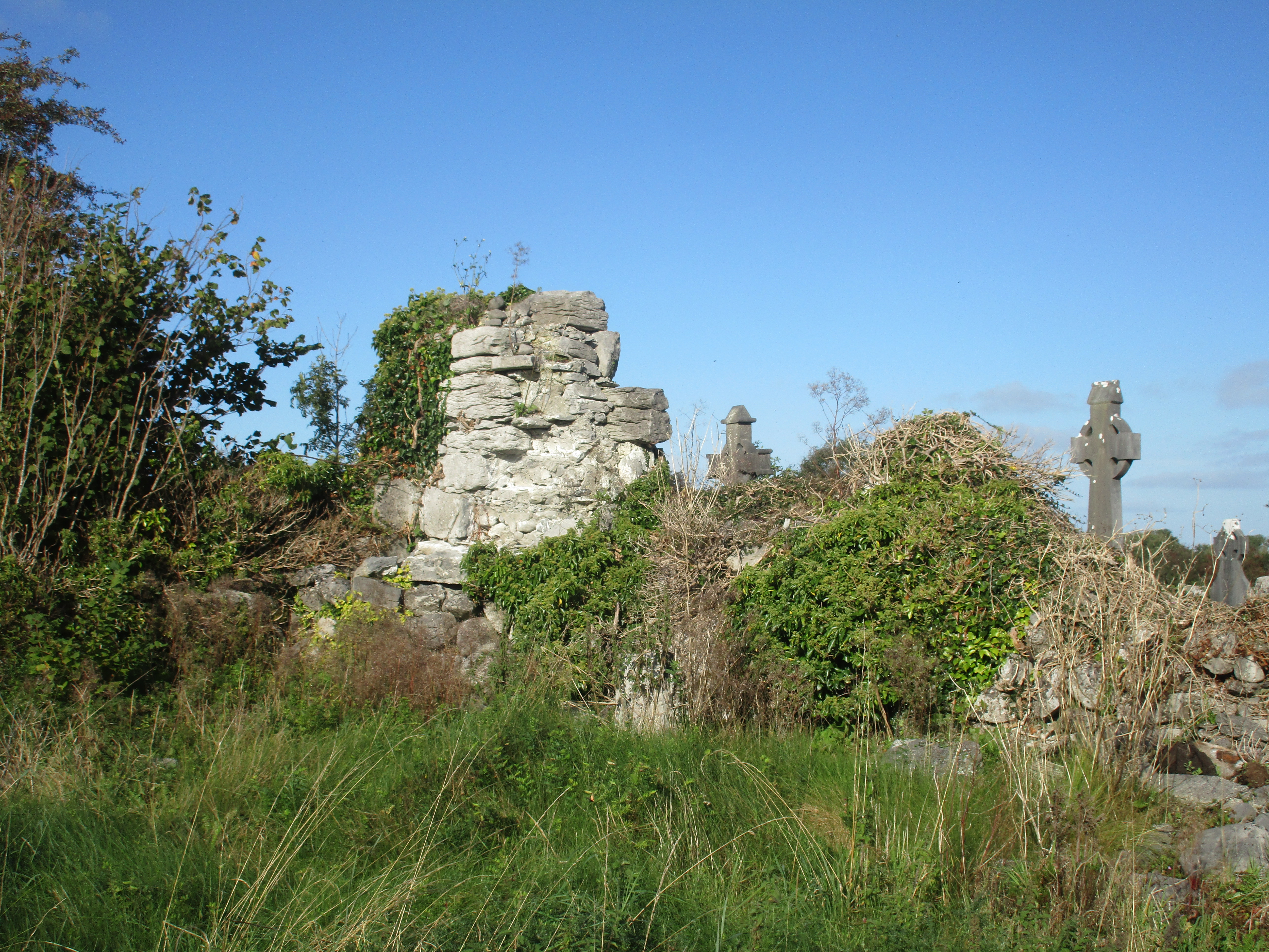 Church (in Ruins)Church · 1069 yd
 Enclosure in CarrownagoulEnclosure · 1491 yd
 R.C. Chapel (in ruins)Church · 1.1 mi
 Cloondooan Castle (in ruins)Castle, tower house · 1.6 mi
 Burren National ParkNature reserve · 1.7 mi
 Slieve RoeMountain / peak · 2.1 mi
 Kilnaloone GraveyardArchaeological place · 2.5 mi
 Mullagh MoreMountain / peak · 2.6 mi
 Kilmacduagh MonasteryHeritage attraction · 3.2 mi
 Kilmacduagh Monastic SiteVisitor information · 3.2 mi