
What is recorded here
On a rise in improved pasture surrounded by scrub and exposed limestone pavement E-S-NW. Indicated on the first edition (1842) and hachured on the later, Cassini edition (1920) of the OS 6-inch map. The OS 25-inch plan records a disused limekiln immediately NE of the monument. Listed as ‘Enclosure’ in the RMP (1996). This circular cashel (int. diam. 54.5m N-S; ext. diam. 57m E-W; 56.6m N-S) is defined by a double-faced drystone wall (Wth 1.4m; H 0.7-1.5m) which survives SW-N; elsewhere the wall has fallen outward, down a short natural carp which is present at N-E-SW. The wall’s stones are uncoursed and may have been rebuilt, possibly in conjunction with a sheep gate (Wth 0.6m; H 0.85m) at NNW. There is a livestock gap at E and an entrance gap at SW which appeared recent when inspected in 2000. The perimeter is planted with a hawthorn hedge and the interior is under grass.
See attached image: CL011-004----_01.jpg Aerial photo from S, 2007. (Photo. Markus Casey)
Compiled by: Gearóid Conroy and Conn Herriott
Date of upload: 12 January 2023
A local fairy fort (ringfort/rath); wider significance not recorded.
The monument record does not grant public access. Check the route and ask the landowner before entering private land.
- What survives
- Recorded monument
Places near here
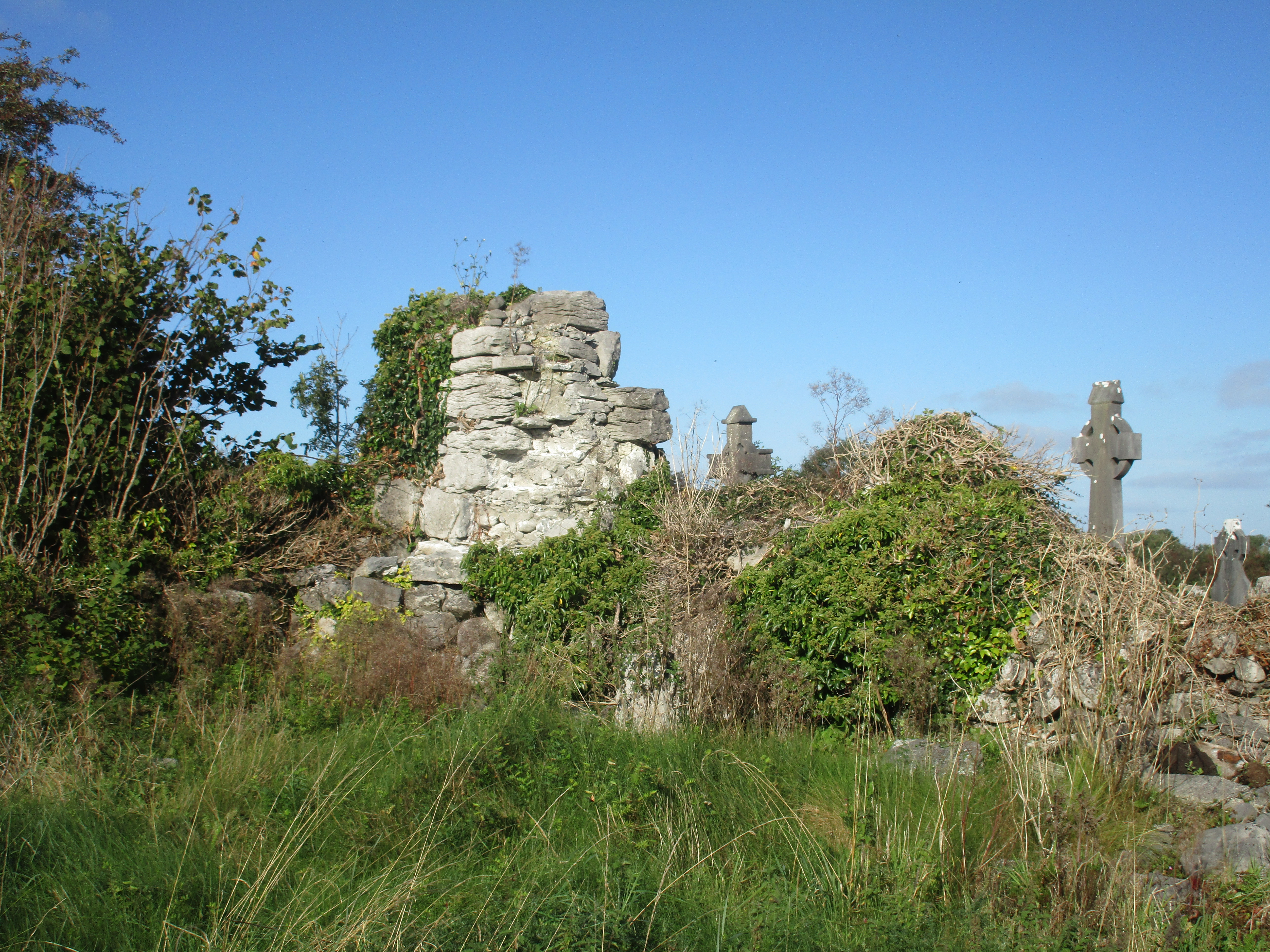 Church (in Ruins)Church · 655 yd
 Enclosure in BallaghaglashEnclosure · 1073 yd
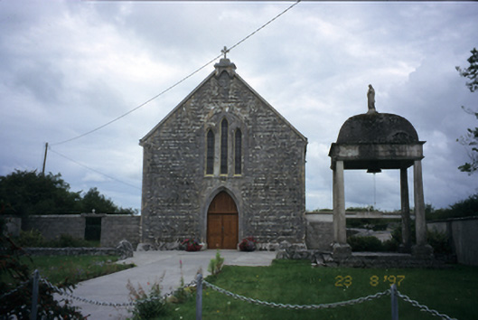 All Saints' Catholic Churchchurch/chapel · 1422 yd
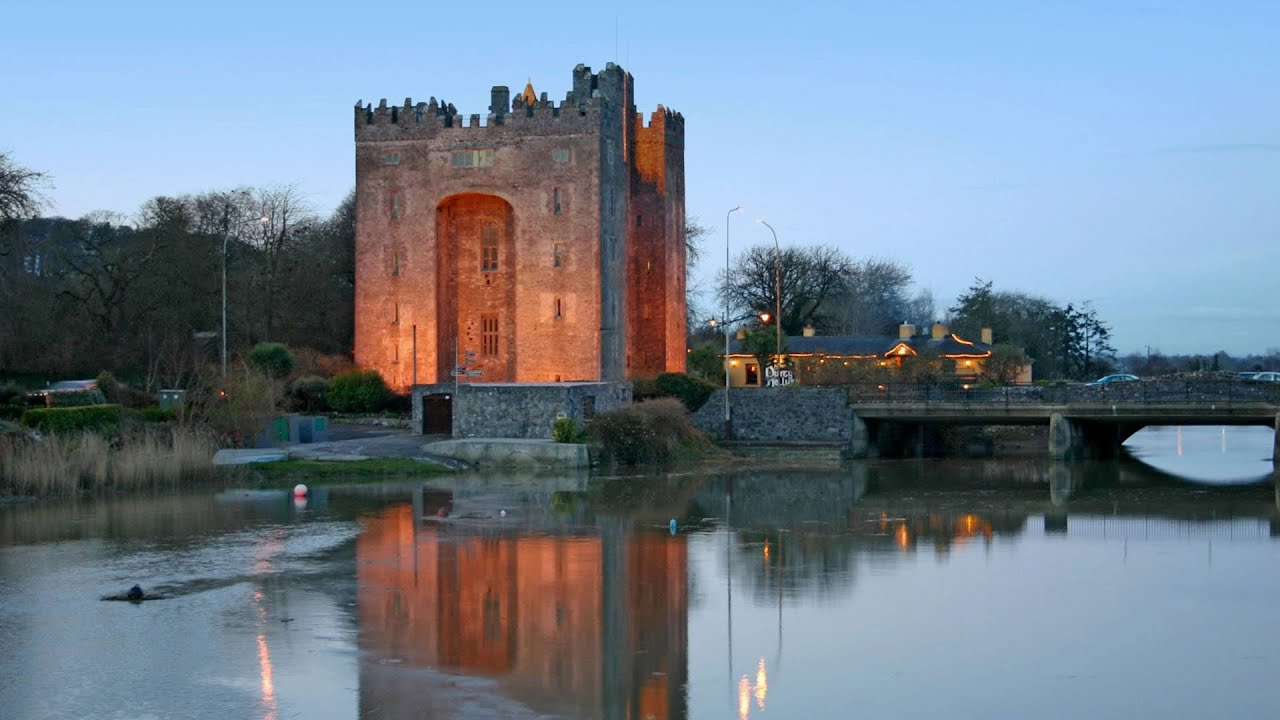 Castle (in ruins)Castle, tower house · 1699 yd
 Cloondooan Castle (in ruins)Castle, tower house · 1.1 mi
 Enclosure in CarrownagoulEnclosure · 1.2 mi
 Slieve RoeMountain / peak · 2.6 mi
 Kilmacduagh MonasteryHeritage attraction · 2.6 mi
 Kilmacduagh Monastic SiteVisitor information · 2.7 mi
 Kilnaloone GraveyardArchaeological place · 2.8 mi
 Mullagh MoreMountain / peak · 3.0 mi
 Grave of Saint Mac Duagh's ServantArchaeological place · 3.7 mi
Other information
Photo: Credit not shown in the picture search · Rights wording not checked; contact us if this picture should be removed