
What is recorded here
Situated on a broad NE-SW ridge. Listed as ‘Church’ in the SMR (1992) and the RMP (1996). Indicated and named ‘Shantaghphubble (in Ruins)’ on the 1916 OS 6-inch map. This is a Roman Catholic church of the 18th or 19th century. An L-shaped structure defined by double-faced wall (T 0.6-0.9m; H 0.6-1.5m), roughly coursed and drystone built. The main part of the church is aligned NE-SW and there is an extension at NE built at the same time. There are two doorways, one at NE (1.45m) and one on the S wall of the main church (Wth 1.05m). A poorly built inserted wall inside the NE door separates this extension from the main body of the church. (Swinfen 1992)
Compiled by: Mary Tunney
Date of upload: 23 March 2016
A local church or high cross; wider significance not recorded.
The monument record does not grant public access. Check the route and ask the landowner before entering private land.
- What survives
- Recorded monument
Places near here
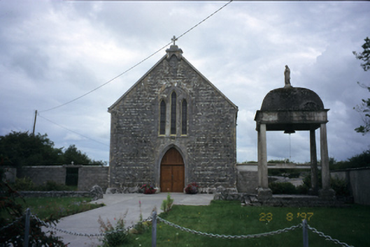 All Saints' Catholic Churchchurch/chapel · 1307 yd
 Enclosure in CarrownagoulEnclosure · 1677 yd
 Cloondooan Castle (in ruins)Castle, tower house · 1701 yd
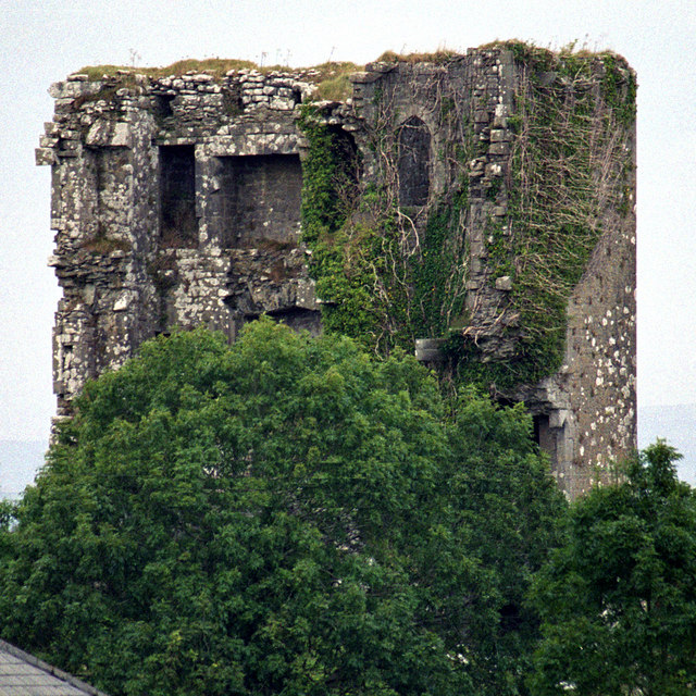 Kilkeedy Castle (in ruins)Castle, tower house · 1.3 mi
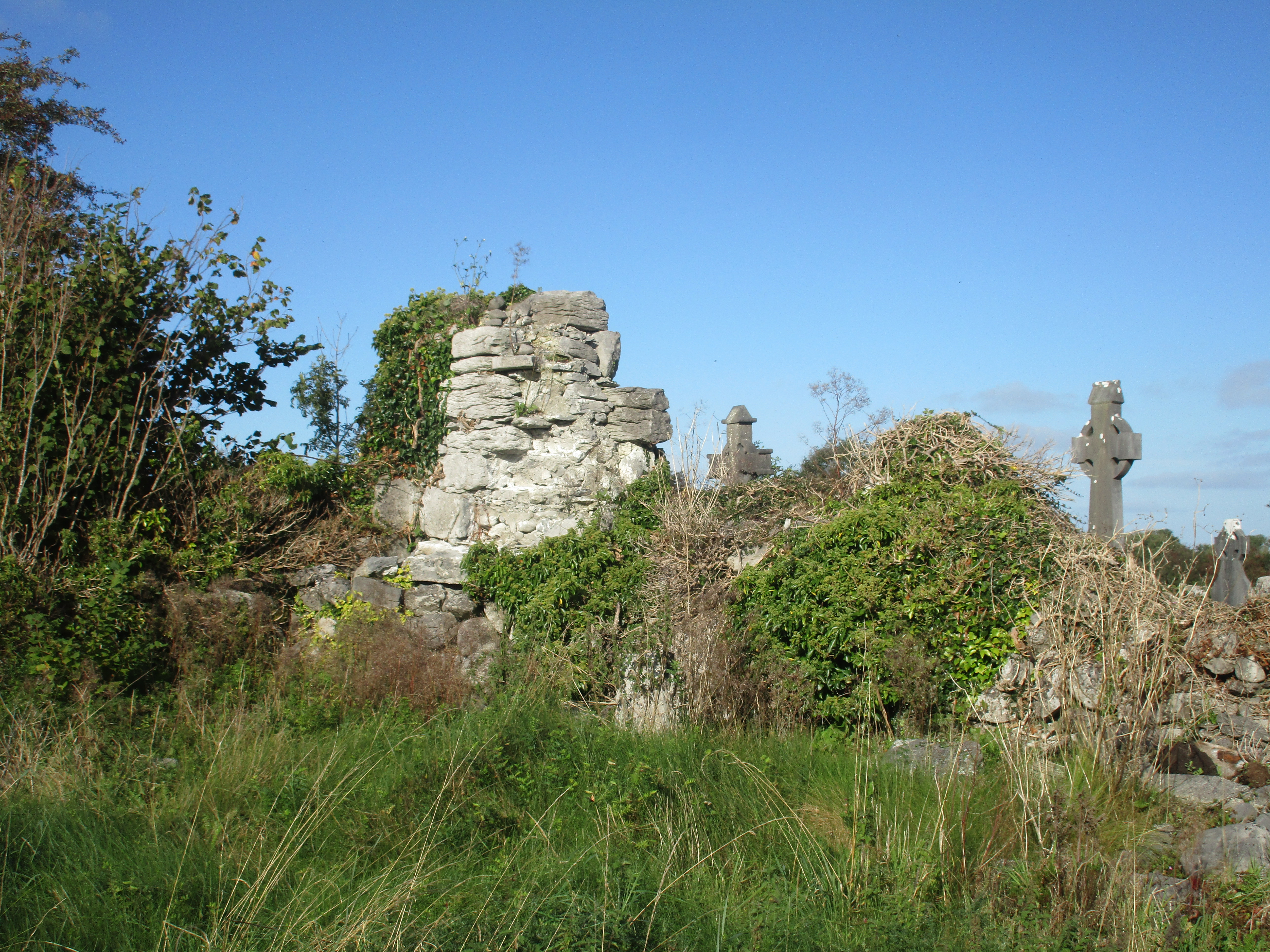 Church (in Ruins)Church · 1.4 mi
 Enclosure in BallaghaglashEnclosure · 1.6 mi
 Slieve RoeMountain / peak · 2.3 mi
 Mullagh MoreMountain / peak · 2.6 mi
 Kilmacduagh MonasteryHeritage attraction · 2.9 mi
 Kilmacduagh Monastic SiteVisitor information · 3.0 mi
 Kilnaloone GraveyardArchaeological place · 3.6 mi
 Father Ted's HouseHeritage attraction · 3.7 mi
Other information
Photo: Credit not shown in the picture search · Rights wording not checked; contact us if this picture should be removed