
What is recorded here
Situated on flat ground in an area of karst limestone. Listed as ‘Hut site’ in the RMP (1996). Indicated on a set of annotated maps in 1994 (pers. comm. T. Coffey, SMR file). On inspection in 2000 two fields defined by drystone walls of modern construction and marked on the 1916 OS 6-inch map were found to have been altered to make a larger field. No hut site was in evidence at this location.
Compiled by: Mary Tunney
Date of upload: 23 March 2016
A local fairy fort (ringfort/rath); wider significance not recorded.
The monument record does not grant public access. Check the route and ask the landowner before entering private land.
- What survives
- Recorded monument
Places near here
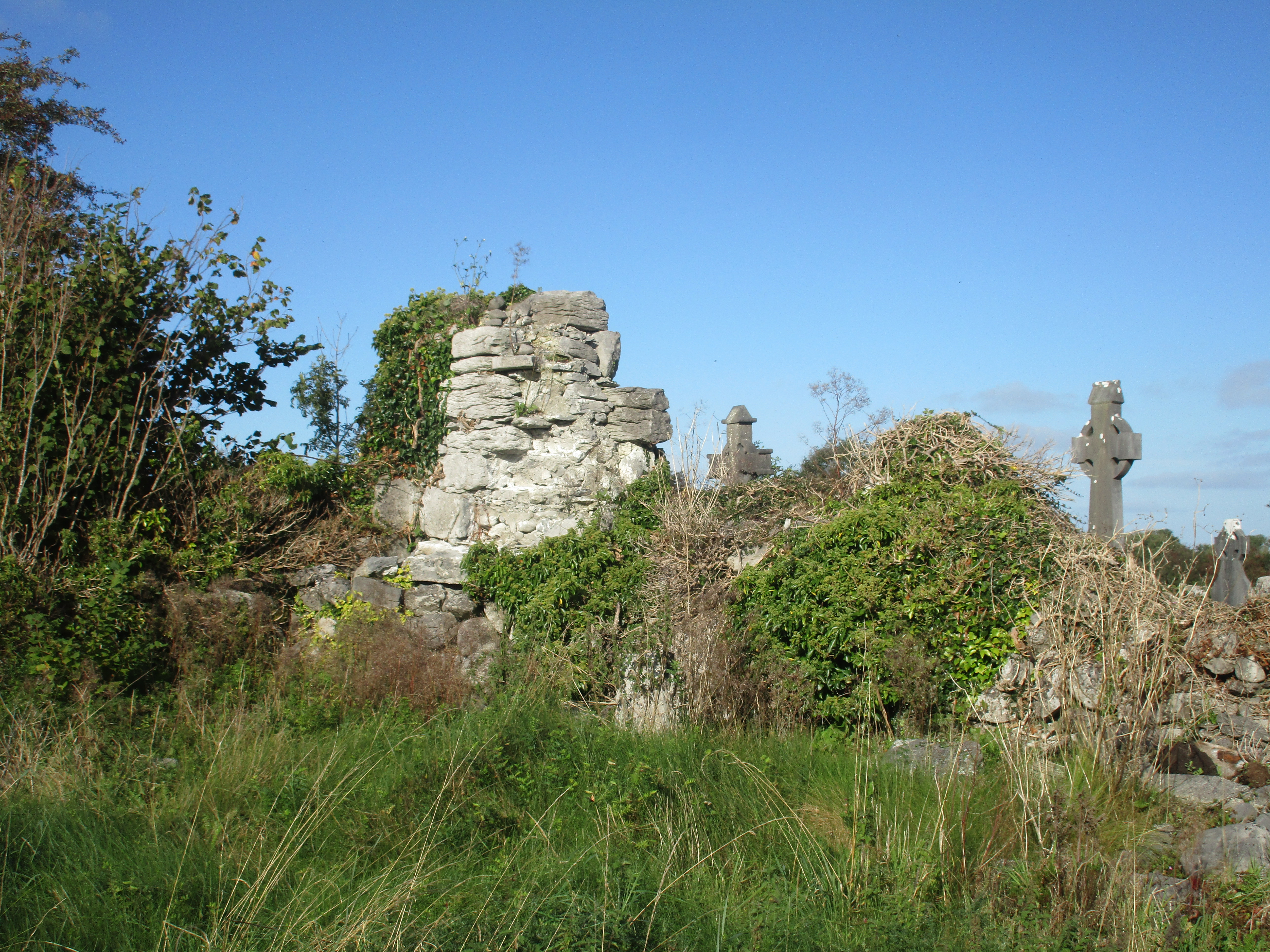 Church (in Ruins)Church · 871 yd
 IndicatedFairy fort / stone ringfort · 1073 yd
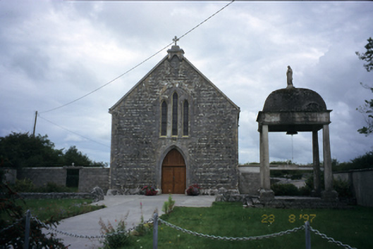 All Saints' Catholic Churchchurch/chapel · 1.0 mi
 Sheep foldFairy fort / stone ringfort · 1.1 mi
 Cloondooan Castle (in ruins)Castle, tower house · 1.2 mi
 Cloonselherny Castle (in ruins)Castle, tower house · 1.4 mi
 Kilmacduagh MonasteryHeritage attraction · 2.2 mi
 Kilmacduagh Monastic SiteVisitor information · 2.3 mi
 Kilnaloone GraveyardArchaeological place · 3.0 mi
 Slieve RoeMountain / peak · 3.2 mi
 Grave of Saint Mac Duagh's ServantArchaeological place · 3.5 mi
 Mullagh MoreMountain / peak · 3.6 mi
Other information
Photo: Credit not shown in the picture search · Rights wording not checked; contact us if this picture should be removed