What is recorded here
In poorly drained pasture with good views to the SE. Annotated ‘Tobarfelim’ on the 1897 OS 25-inch map where it is depicted at the SW end of a stream, 350m S of Ballymacreese House. Site inspection in 2005 recorded the area as heavily overgrown with the well located at the meeting point of several field boundaries. Well used as a cattle trough which consists of a rectangular-shaped concrete basin (4m NE-SW X 5m NW-SE) filled by water from the stream. Visible on Digital Globe orthoimage 2011-2013 as an overgrown area.
See attached Google Earth orthoimage taken 19/11/2019
Compiled by: Martin Fitzpatrick
Date upload: 7 July 2020
The monument record does not grant public access. Check the route and ask the landowner before entering private land.
- What survives
- Recorded monument
Places near here
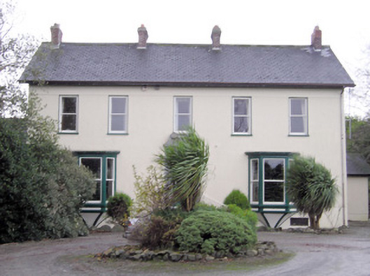 Ballymacreese Househouse · 391 yd
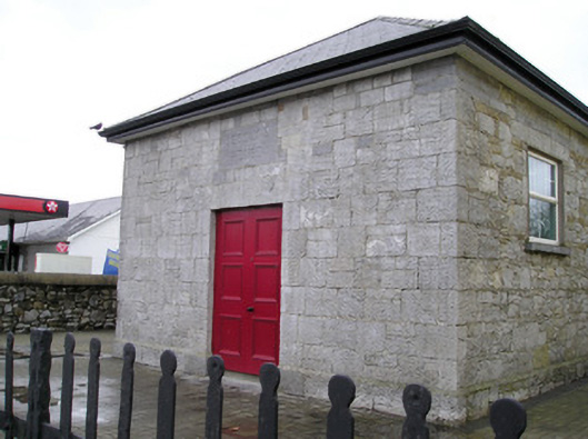 Ballyneety Courthousecourt house · 1008 yd
 Bawn in Ludden MoreBawn · 1267 yd
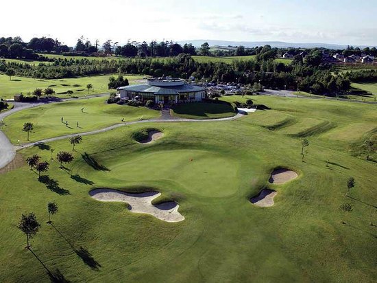 Ballyneety Castle (Site of)Castle, unclassified · 1404 yd
 Wych ElmWych Elm · 1610 yd
 BrufeaArchaeological place · 1.1 mi
 BarrowBarrow, ring-barrow · 1.2 mi
 St Lawrence's WellSpring · 1.5 mi
 ToberauillinSpring · 1.7 mi
 Graveyard in AbingtonGraveyard · 5.7 mi
 Saint John Paul IIMemorial · 6.3 mi
 Kilteely HillMountain / peak · 7.6 mi