What is recorded here
Situated within a gully on the S bank of a meandering W-E stream. Wilde noted that it was neglected and disused in his time (1849, 170) and Thunder writing in 1886-7 also recorded its ‘neglected’ state. Patrick is depicted and named on the 1836 and 1908 editions of the OS 6-inch map. The well is supposed to have a stone with the mark of St Patrick's knees on it (IFC: Schools' Collection, vol. 714, 20). It was recorded as a rectangular masonry sunken feature in 1969 (SMR file) but it had been become obscured by 2019. Archaeological testing (20E0223) by R. Tobin demonstrated that ground level had been raised (c. 0.6m) when a pumphouse c. 2m S of the well damaged the original masonry structure (dims c. 1m x c. 1m), part of which survived with a channel leading N to the stream. Local information records that Tober Patrick was c. 200m further E and on the N side of the stream. (Tobin and Coughlan 2021)
Compiled by: Paul Walsh
Date of upload: 12 September 2016
Amended: 23 March 2023
Tobin, R. and Coughlan, T. 2021 N51 Dunmoe Phase 2 Scheme, County Meath. Tober Patrick. Licence: 20E0223. Preliminary unpublished report, IAC Archaeology
Situated within a gully on the S bank of a meandering W-E stream. Wilde noted that it was neglected and disused in his time (1849, 170) and Thunder writing in 1886-7 also recorded its ‘neglected’ state. Patrick is depicted and named on the 1836 and 1908 editions of the OS 6-inch map. The well is supposed to have a stone with the mark of St Patrick's knees on it (IFC: Schools' Collection, vol. 714, 20). It was…
From the National Monuments Service (Archaeological Survey of Ireland) record ME018-032
The monument record does not grant public access. Check the route and ask the landowner before entering private land.
- What survives
- Recorded monument
Places near here
Photo credits
- National Inventory of Architectural Heritage
- JP, Wikimedia Commons · CC BY-SA 2.0
- Internet Archive Book Images, Wikimedia Commons · No restrictions
- Mike Searle, Geograph · CC BY-SA 2.0
- Sitomon, Wikimedia Commons · CC BY-SA 2.0
- Albert Bridge, Geograph · CC BY-SA 2.0
- Aubrey Martin, Wikimedia Commons · CC BY-SA 4.0
- Olivier BEZES, Wikimedia Commons · CC BY 2.5
- Sitomon, Wikimedia Commons · Public domain
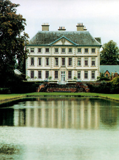 Stackallan HouseCountry house · 521 yd
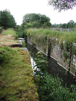 Stackallan LockLock · 1129 yd
 Baronstown CrossCross, Wayside cross · 1.3 mi
.jpg/250px-Picturesque_Ireland_-_a_literary_and_artistic_delineation_of_the_natural_scenery,_remarkable_places,_historical_antiquities,_public_buildings,_ancient_abbeys,_towers,_castles,_and_other_romantic_and_(14779127292).jpg "Photo: Internet Archive Book Images, Wikimedia Commons · No restrictions") Dunmoe CastleCastle · 1.7 mi
Dunmoe CastleCastle · 1.7 mi Dunmoe CastleCastle, unclassified · 1.8 mi
 European Yew2.2 mi
 Round Tower2.7 mi
 Donaghmore Round TowerHeritage attraction · 2.7 miRiverviewMemorial · 2.9 miCarn HillMountain / peak · 3.0 mi
 Lebanon Cedar3.3 mi
 KnowthArchaeological place · 4.8 mi
More archaeology and monuments in County Meath · All of County Meath
What do you know about this place?