What is recorded here
This is St. Patrick’s well and it is located in mixed woodland at the bottom of a W-facing slope. It is described as ‘Tober Patrick’ in gothic lettering on the 1835 and 1911 editions of the OS 6-inch map. It is a circular hollow (diam. 1m; D 0.7m at E to 1.5m at W) which is dry and with no evidence of stonework, apart…
Read the whole record
From the National Monuments Service (Archaeological Survey of Ireland) record LE028-065001
Places near here
Photo credits
- Maker not stated on source page, www.dreamstime.com
- Maker not stated on source page, en.wikipedia.org
- Maker not stated on source page, irisharchaeology.org
- Maker not stated on source page, letsgowiththechildren.co.uk
- Maker not stated on source page, www.gaia.com
- Maker not stated on source page, www.echolive.ie
- Maker not stated on source page, www.ancient-origins.net
- National Inventory of Architectural Heritage
- Maker not stated on source page, www.reddit.com
- Maker not stated on source page, www.pinterest.com
 Memorial stone in Drumoghty MoreMemorial stone · 2 yd
Explorer Tom Memorial stone in Drumoghty More is a small standing stone that’s secretly proud of its connection to a holy well and a…
 Fairy fort / earthen ringfort in FiniskilFairy fort / earthen ringfort · 1700 yd
Explorer Tom This earthen ringfort in Finiskil hosted a fake royal visit that nobody can disprove because the queen didn't actually…
 Fairy fort / earthen ringfort in Drumgownagh (leitrim By., Breandrum Ed)Fairy fort / earthen ringfort · 1.7 mi
Explorer Tom Fairy fort / earthen ringfort in Drumgownagh made the map makers cry because they couldn't figure out why it was hiding…
 Fairy fort / earthen ringfort in DrumparsonsFairy fort / earthen ringfort · 4.5 mi
Explorer Tom Fairy fort / earthen ringfort in Drumparsons saw a farmer drop his lunch into the ditch once. It was the most dramatic…
 Fairy fort / earthen ringfort in CorlisheenFairy fort / earthen ringfort · 4.6 mi
Explorer Tom Fairy fort / earthen ringfort in Corlisheen would complain to the council about its lack of parking and the aggressive…
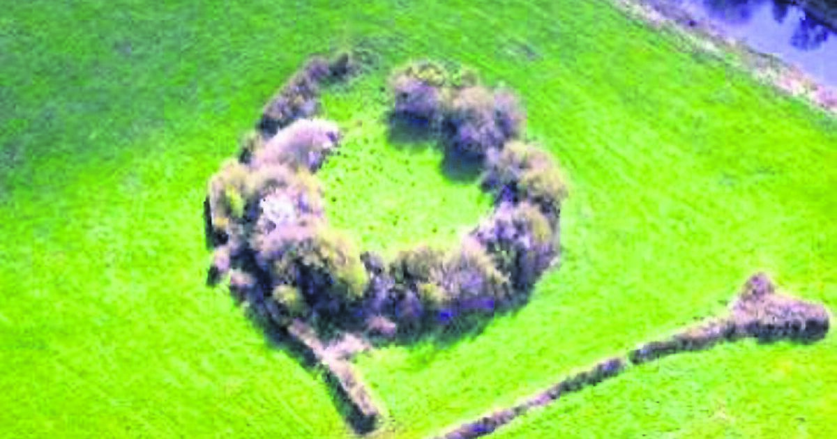 Fairy fort / earthen ringfort in DristernanFairy fort / earthen ringfort · 4.6 mi
Explorer Tom Fairy fort / earthen ringfort in Dristernan gave up its earthy tones for Lent and went all grey and dull. It’s hiding…
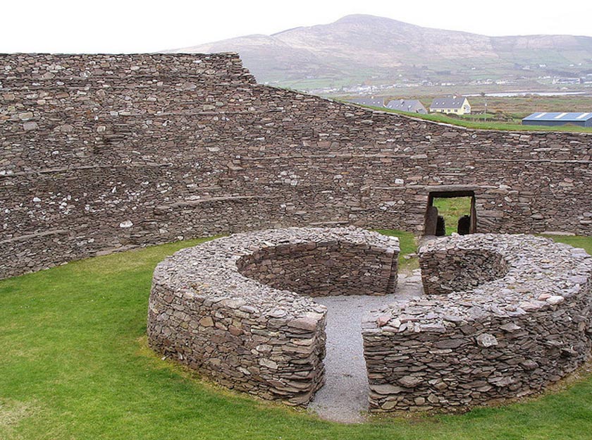 Fairy fort / earthen ringfort in Lavagh (leitrim By.)Fairy fort / earthen ringfort · 4.9 mi
Explorer Tom Fairy fort / earthen ringfort in Lavagh has a massive bank that looks like it’s trying to hug itself to stay warm…
Fairy fort / earthen ringfort in LismannaghFairy fort / earthen ringfort · 5.0 miExplorer Tom Fairy fort / earthen ringfort in Lismannagh is so shy it hasn't shown up on any maps yet. It's got strong suspicions…
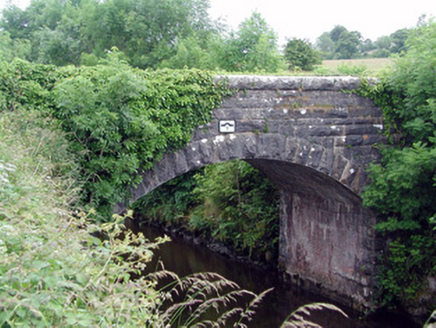 bridge5.1 mi
Explorer Tom Bridge in Letterfine is stuck in a feud with two families over who owns the best view of the canal. The masonry is so…
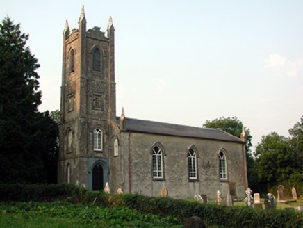 Saint Anne's Church (Annaduff)Church/chapel · 5.6 mi
Explorer Tom Saint Anne's Church (Annaduff) would describe the 1800s to a teenager as 'a time when we had pinnacles and no Wi-Fi'.…
 Mapped graveyardGraveyard · 5.6 mi
Explorer Tom Mapped graveyard in County Leitrim was built on a bargain involving a lost sock and a lot of tea. The original builder…
 Old Annaduff GraveyardCemetery · 5.7 mi
Explorer Tom Old Annaduff Graveyard gave up meat for Lent last year but accidentally ate a whole leg of lamb and felt terrible about…
More archaeology and monuments in County Leitrim · All of County Leitrim

What do you know about this place?Tap to add a comment or ask a question