What is recorded here
Half-buried in the ridge, the fort keeps its shape only because the land still holds it. A twenty-metre circle, banked and ditched, it slopes into the southeast like a room emptying itself. The missing entrance and broken west side suggest more than age; they suggest forgetting. What is remembered as fairy is the part the legend cannot bear to name.
Located on the S-facing spine of a NNW-SSE drumlin ridge. This is an overgrown circular area (int. diam. c. 20m) that slopes down to the SE. Ii is defined by an earthen bank (at N: Wth of base 7.2m; Wth of top 1.2m; int. H 1.15m; ext. H 2.2m) and an external water-logged fosse (at N: Wth of top 7.5m; Wth of base 1.5m; ext. D 1m) which had been filled in NE-E. The original entrance is not recognised and the W side had been damaged.
The above description is derived from 'The Archaeological Inventory of County Leitrim' compiled by Michael J. Moore (Dublin: Stationery Office, 2003). In certain instances the entries have been revised and updated in the light of recent research.
Compiled by: Michael Moore
Date of upload: 23 September 2008
Amended: 5 December 2019
The monument record does not grant public access. Check the route and ask the landowner before entering private land.
- What survives
- Recorded monument
Places near here
 Tober PatrickHoly well · 1700 yd
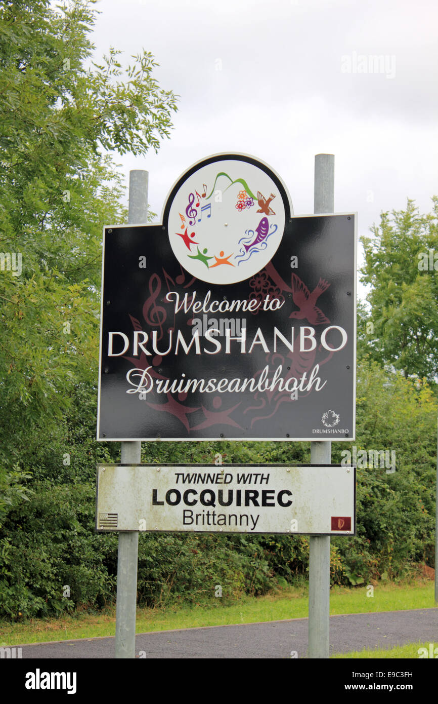 Not idicatedEnclosure · 1.7 mi
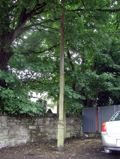 vent pipevent pipe · 2.6 mi
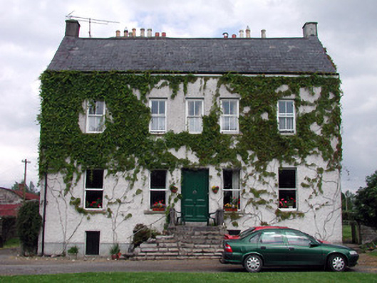 The Castlehouse · 2.6 mi
 Turlough O'Carolan MonumentHeritage attraction · 2.7 mi
 Giant's GraveArchaeological place · 4.0 mi
 Sessile OakSessile Oak · 4.1 mi
 Little IslandIslet · 4.5 mi
 Duck IslandIslet · 4.6 mi
 Lawson's CypressLawson's Cypress · 4.7 mi
 Tom Dunphy MemorialMemorial · 4.9 mi
 CastleCastle, tower house · 4.9 mi