What is recorded here
Situated in woodland c. 25m from the E shore of Lough Rinn, which is described as ‘Clam Lough’ on the Down Survey (1656-8) barony map where the castle is depicted as what might be two towers. The house of Mael Sechlainn MacRaighnaill was attacked by Tadhg MacRaighnall in 1473 when fourteen men were killed (AC), and this is thought to be at Lough Rinn (Mc Carthy 1989-90, 126). It is described as a castle ruin on an estate map (Wogan 1750, 22), and the terrier or commentary suggests that it might be easily repaired. This might have been done as the remains have been conserved. The castle is a rectangular structure (ext. dims 10m N-S; 7m E-W) with battered walls and rounded corners, surviving to H of c. 7m, except for much of the S and E walls (H 1.5-3m; T 2m). A destroyed doorway (Wth 0.8m) towards the W end of the S wall leads through a lobby to the ground floor, which has the remains of an E-W barrel vault and a simple light in every wall except the S. A mural stairs rises eastwards from the lobby. The structure was illustrated by Daniel Grose in the late eighteenth century (Stalley 1991, 184-6). (McDermott 2019, 121-2)
See the attached section from the Down Survey barony map (N at right) reproduced courtesy of the National Library of Ireland
The above description is derived from 'The Archaeological Inventory of County Leitrim' compiled by Michael J. Moore (Dublin: Stationery Office, 2003).
Situated in woodland c. 25m from the E shore of Lough Rinn, which is described as ‘Clam Lough’ on the Down Survey (1656-8) barony map where the castle is depicted as what might be two towers. The house of Mael Sechlainn MacRaighnaill was attacked by Tadhg MacRaighnall in 1473 when fourteen men were killed (AC), and this is thought to be at Lough Rinn (Mc Carthy 1989-90, 126). It is described as a castle ruin on…
From the National Monuments Service (Archaeological Survey of Ireland) record LE035-012
The monument record does not grant public access. Check the route and ask the landowner before entering private land.
- What survives
- Recorded monument
Places near here
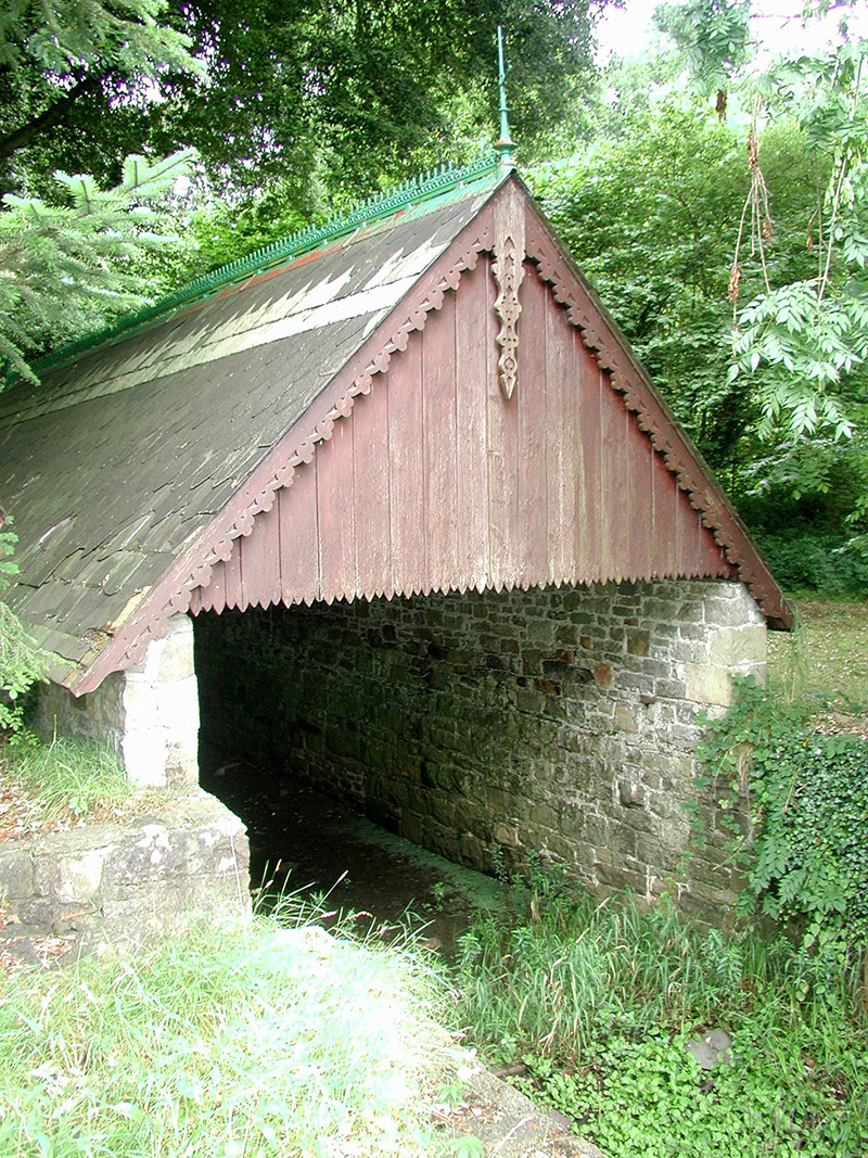 Lough Rynn HouseBoathouse · 57 yd
 Western Hemlock105 yd
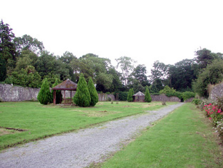 Lough Rynn HouseWalled garden · 197 yd
 Monkey-puzzle205 yd
 Lough Rynn HouseCastle · 394 ydDruid's AltarArchaeological place · 562 ydLady Elizabeth's IslandIslet · 739 ydDuck IslandIslet · 1119 ydHoly Well1180 ydGiant's GraveArchaeological place · 1.4 miOratoryCastle, tower house · 1.6 mi
 Cavan & Leitrim RailwayMuseum · 3.5 mi
Pictures: National Inventory of Architectural Heritage; Doug Kerr from Albany, NY, United States, Wikimedia Commons · CC BY-SA 2.0; Vicente Fernández Rioja, Wikimedia Commons · CC BY-SA 4.0; SE Keenan, Wikimedia Commons · CC BY-SA 4.0; Reading Tom, Wikimedia Commons · CC BY 2.0
More castles and forts in County Leitrim · All of County Leitrim
What do you know about this place?