What is recorded here
In pasture on the N shore of Lough Rinn. Marked only on the latest edition of the OS 6-inch map. There is no other information, and it is not visible at ground level. Moore (Dublin: Stationery Office, 2003).
From the National Monuments Service (Archaeological Survey of Ireland) record LE035-010
The monument record does not grant public access. Check the route and ask the landowner before entering private land.
- What survives
- Recorded monument
Places near here
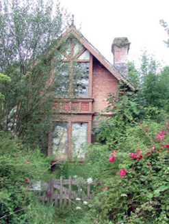 Lough Rynn HouseGate lodge · 370 yd
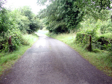 Lough Rynn HouseBridge · 560 yd
 Tuliptree867 yd
 Lawson's Cypress869 yd
 Lough Rynn HouseCastle · 937 ydLittle IslandIslet · 1065 ydDuck IslandIslet · 1126 ydCastleCastle, tower house · 1180 ydDruid's AltarArchaeological place · 1441 ydIndicatedFairy fort / earthen ringfort · 1.0 miGiant's GraveArchaeological place · 1.1 mi
 Cavan & Leitrim RailwayMuseum · 3.8 mi
Pictures: National Inventory of Architectural Heritage; Jean-Pol GRANDMONT, Wikimedia Commons · CC BY 3.0; jonleebotany, Wikimedia Commons · CC0; SE Keenan, Wikimedia Commons · CC BY-SA 4.0; Reading Tom, Wikimedia Commons · CC BY 2.0
More archaeology and monuments in County Leitrim · All of County Leitrim
What do you know about this place?