
What is recorded here
Located in mixed woodland at the bottom of an E-facing slope. The name ‘Tober Murray’ on the OS 6-inch maps is properly Tober Mhuire – Mary’s Well (OSNB No. 84, 15), and there was a pattern at this well until c. 1800 (ibid.). However, the memory of veneration seems to have been transferred to Tober Patrick…
Read the whole record
From the National Monuments Service (Archaeological Survey of Ireland) record LE028-065002
Places near here
Photo credits
- Maker not stated on source page, www.dreamstime.com
- Maker not stated on source page, en.wikipedia.org
- Maker not stated on source page, irisharchaeology.org
- Maker not stated on source page, letsgowiththechildren.co.uk
- Maker not stated on source page, www.gaia.com
- Maker not stated on source page, www.echolive.ie
- Maker not stated on source page, www.ancient-origins.net
- National Inventory of Architectural Heritage
- Maker not stated on source page, commons.wikimedia.org
- Maker not stated on source page, www.pinterest.com
 Memorial stone in Drumoghty MoreMemorial stone · 29 yd
Explorer Tom Memorial stone in Drumoghty More is a small standing stone that’s secretly proud of its connection to a holy well and a…
 Fairy fort / earthen ringfort in FiniskilFairy fort / earthen ringfort · 1685 yd
Explorer Tom This earthen ringfort in Finiskil hosted a fake royal visit that nobody can disprove because the queen didn't actually…
 Fairy fort / earthen ringfort in Drumgownagh (leitrim By., Breandrum Ed)Fairy fort / earthen ringfort · 1.7 mi
Explorer Tom Fairy fort / earthen ringfort in Drumgownagh made the map makers cry because they couldn't figure out why it was hiding…
 Fairy fort / earthen ringfort in DrumparsonsFairy fort / earthen ringfort · 4.6 mi
Explorer Tom Fairy fort / earthen ringfort in Drumparsons saw a farmer drop his lunch into the ditch once. It was the most dramatic…
 Fairy fort / earthen ringfort in CorlisheenFairy fort / earthen ringfort · 4.6 mi
Explorer Tom Fairy fort / earthen ringfort in Corlisheen would complain to the council about its lack of parking and the aggressive…
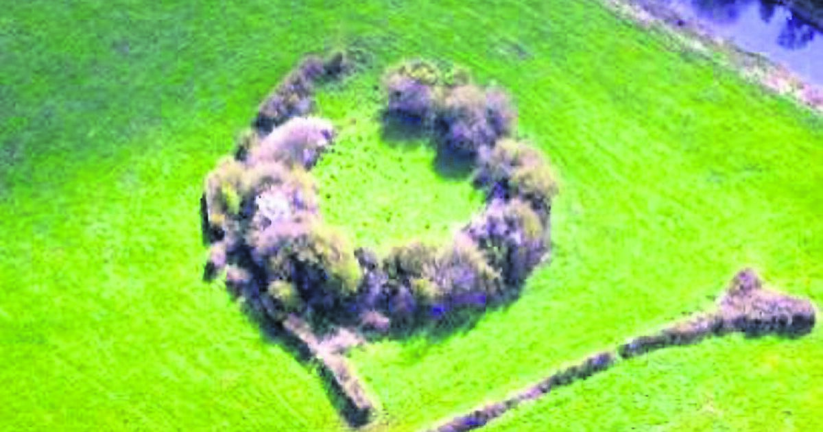 Fairy fort / earthen ringfort in DristernanFairy fort / earthen ringfort · 4.6 mi
Explorer Tom Fairy fort / earthen ringfort in Dristernan gave up its earthy tones for Lent and went all grey and dull. It’s hiding…
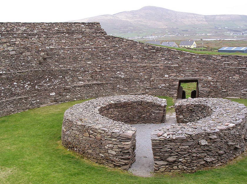 Fairy fort / earthen ringfort in Lavagh (leitrim By.)Fairy fort / earthen ringfort · 4.9 mi
Explorer Tom Fairy fort / earthen ringfort in Lavagh has a massive bank that looks like it’s trying to hug itself to stay warm…
Fairy fort / earthen ringfort in LismannaghFairy fort / earthen ringfort · 5.0 miExplorer Tom Fairy fort / earthen ringfort in Lismannagh is so shy it hasn't shown up on any maps yet. It's got strong suspicions…
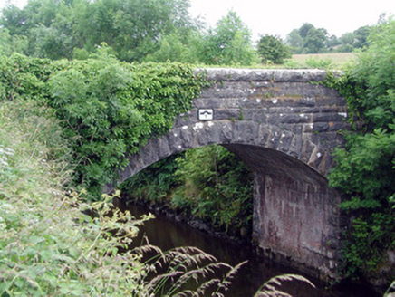 bridge5.1 mi
Explorer Tom Bridge in Letterfine is stuck in a feud with two families over who owns the best view of the canal. The masonry is so…
 Mapped graveyardGraveyard · 5.4 mi
Explorer Tom Mapped graveyard in County Leitrim would tell a stranger it’s just a big pile of dirt with opinions. It’s not proud…
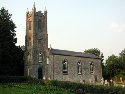 Saint Anne's Church (Annaduff)Church/chapel · 5.6 mi
Explorer Tom Saint Anne's Church (Annaduff) would describe the 1800s to a teenager as 'a time when we had pinnacles and no Wi-Fi'.…
 Old Annaduff GraveyardCemetery · 5.7 mi
Explorer Tom Old Annaduff Graveyard gave up meat for Lent last year but accidentally ate a whole leg of lamb and felt terrible about…
More archaeology and monuments in County Leitrim · All of County Leitrim

What do you know about this place?Tap to add a comment or ask a question