What is recorded here
In rough pasture, at the base of W-facing slope, on the SW side of Dernish Island. The shoreline is c. 20m to W, bordered by a vertical scarp (H 2m) which drops from the land to a stony shore. This holy well is not shown on the 1837 OS 6-inch map; it is indicated as ‘Tober Patrick’ on the 1912 edition. It consists of…
Read the whole record
From the National Monuments Service (Archaeological Survey of Ireland) record SL002-019
Places near here
Photo credits
- Maker not stated on source page, www.irelandhighlights.com
- Maker not stated on source page, www.tripadvisor.com
- Maker not stated on source page, ru.pinterest.com
- National Inventory of Architectural Heritage
- Maker not stated on source page, www.pinterest.com
- Maker not stated on source page, www.flickr.com
- Maker not stated on source page, commons.wikimedia.org
- Kmcnamee, Wikimedia Commons · CC BY-SA 4.0
- Picture: Spanish Armada Ireland
 Fulacht fia in Dernish IslandFulacht fia · 20 yd
Explorer Tom Fulacht fia in Dernish Island gave up meat and potatoes for Lent, which is a bold move for a boiling stone pile on a…
 Midden in Dernish IslandMidden · 271 yd
Explorer Tom Midden in Dernish Island would tell you in a job interview that it has excellent exposure and a great view of the tidal…
 Dernish IslandIsland · 336 yd
Explorer Tom Dernish Island says its retirement plan involves becoming a very expensive spa resort for retired lighthouse keepers…
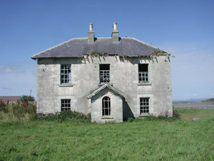 Mount Temple HouseFarm house · 786 yd
Explorer Tom Mount Temple House in Mount Temple had a matchmaker who paired every local farmer with a cow because humans were too…
 Midden in Conor's IslandMidden · 996 yd
Explorer Tom Midden in Conor’s Island is a pile of old shells that has a genuine grudge against the rain. It gets soggy and…
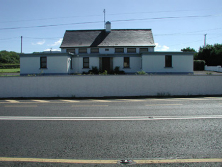 Carn National SchoolSchool · 1243 yd
Explorer Tom Carn National School has been extended but still looks like its original self is trying to squeeze out from behind the…
 Sea wall in Conor's IslandSea wall · 1433 yd
Explorer Tom Sea wall in Conor's Island took about four thousand cups of tea to build, mostly because the builders kept stopping to…
Seaweed stand in Conor's IslandSeaweed stand · 1433 ydExplorer Tom Seaweed stand in Conor’s Island holds a fake world record for the most boring arrangement of rocks. It thinks it’s an…
 Fairy fort / earthen ringfort in MoneygoldFairy fort / earthen ringfort · 1.0 mi
Explorer Tom Moneygold’s fairy fort hosted the most dramatic event ever: a goat fell asleep on the rampart. It woke up looking very…
 Graveyard in MoneygoldGraveyard · 1.1 mi
Explorer Tom Graveyard in Moneygold once sparked a massive parish argument over who owned the best plot of dirt. The whole village…
 Monsignor Hynes Park, St. Molaise GaelsGAA ground · 1.9 mi
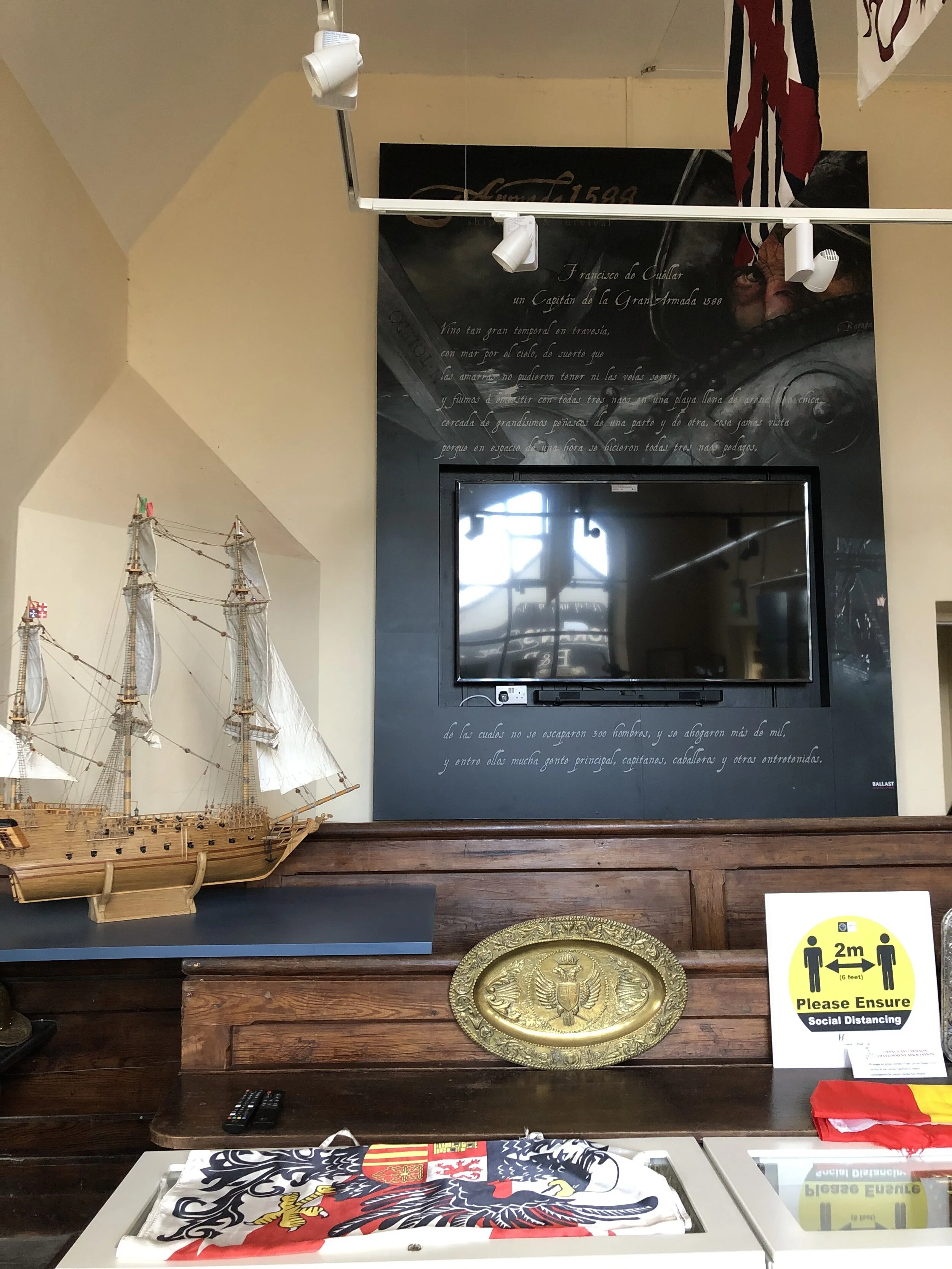 Spanish Armada Interpretive CentreMuseum · 2.3 mi
Explorer Tom The old courthouse in Grange, County Sligo, has traded verdicts for a wilder case: three Spanish Armada ships smashed…
More archaeology and monuments in County Sligo · All of County Sligo

What do you know about this place?Tap to add a comment or ask a question