What is recorded here
Exposed in section in the land-edge cliff on the extreme SE side of Dernish Island. The vertical sand cliff (H c. 2-3m) drops to a strip of sandy beach, bordering a narrow tidal channel (Wth c. 250m) which separates the island from the mainland. A thin layer (L c. 2m) of sea shells, in a matrix of grey sand, is visible in the upper levels of the section face at a height of c. 2m above the shoreline. The sod-covered top of the cliff is partly slumped, and part of the midden layer may be displaced as a result.
Compiled by: Jane O'Shaughnessy
Date of upload: 1 August 2017
The monument record does not grant public access. Check the route and ask the landowner before entering private land.
- What survives
- Recorded monument
Places near here
 Tober PatrickHoly well · 271 yd
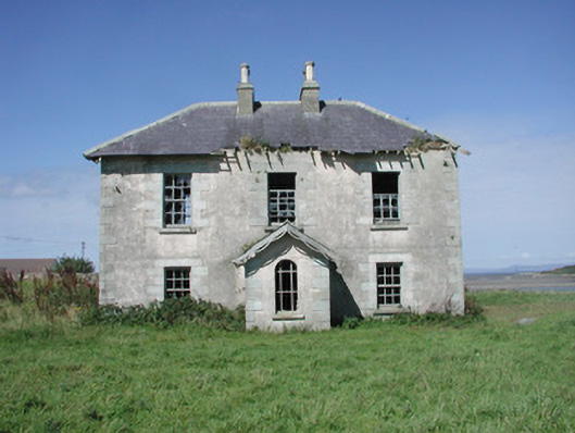 Mount Temple Housefarm house · 658 yd
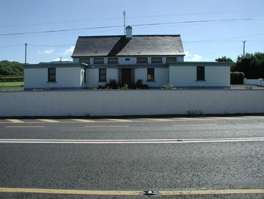 Carn National Schoolschool · 1026 yd
 IndicatedFairy fort / stone ringfort · 1285 yd
 Connors IslandIsland · 1.1 mi
 InishnagorIslet · 1.7 mi
 Trawalua StrandBeach / strand · 1.7 mi
 CastleCastle, unclassified · 2.1 mi
 Classiebawn WoodsWood · 2.5 mi
 Streedagh BeachVisitor information · 2.7 mi
 Atlantic SheepdogsHeritage attraction · 2.8 mi
 Unbaptised Children MonumentMemorial · 3.0 mi