What is recorded here
Exposed in section in the land-edge scarp on the SE side of a headland, located on the E side of Conor’s Island, at the NE end of the Streedagh peninsula. The headland projects to NE into a sheltered tidal channel between Conor’s Island and the mainland, where sand flats are exposed at low tide.
A layer (D 0.1-0.2m) of very fragmentary oyster and cockle shells in a sandy matrix is exposed intermittently, and at different levels, in the slumped section face, over a distance of c. 10m NE−SW. Only small quantities of shell are exposed at any one point, and the full extent of the midden is unclear.
Compiled by: Jane O'Shaughnessy
Date of upload: 26 July 2017
The monument record does not grant public access. Check the route and ask the landowner before entering private land.
- What survives
- Recorded monument
Places near here
 Enclosure in Conor's IslandEnclosure · 355 yd
 Connors IslandIsland · 750 yd
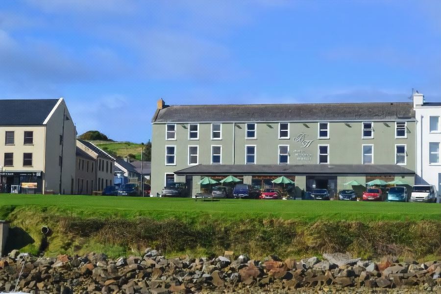 Tober PatrickHoly well · 996 yd
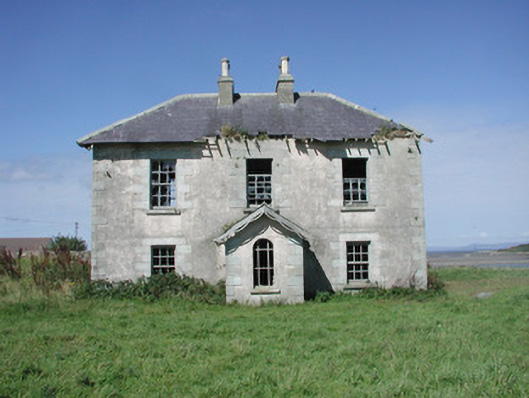 Mount Temple Housefarm house · 1128 yd
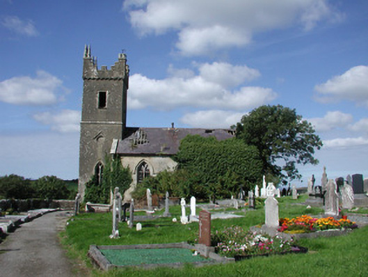 Ahamlish Churchchurch/chapel · 1573 yd
 InishnagorIslet · 1.2 mi
 CastleCastle, unclassified · 1.8 mi
 Streedagh BeachVisitor information · 2.1 mi
 Trawalua StrandBeach / strand · 2.2 mi
 Atlantic SheepdogsHeritage attraction · 2.3 mi
 de Cuellar Armada MonumentMemorial · 2.5 mi
 Classiebawn WoodsWood · 3.1 mi