
What is recorded here
Situated on level ground, in NE corner of garden area to rear of house. Marked 'Castle' on the 1837 edition of the 6'' OS 6-inch map. The structure has been levelled. A low pile of rubble (dims. 10m by 10m; H 0.3m) lies at the site of the castle and may or may not derive from the structure. An ogee headed window (SL005-035----) was identified built into the exterior side of the SE-facing gable of a now deserted post-medieval house.
Compiled by: Patrick F. O'Donovan
Date of upload: 21 April 2011
A local castle; wider significance not recorded.
The monument record does not grant public access. Check the route and ask the landowner before entering private land.
- What survives
- Recorded monument
Places near here
 Catholic Church of Mary Immaculatechurch/chapel · 26 yd
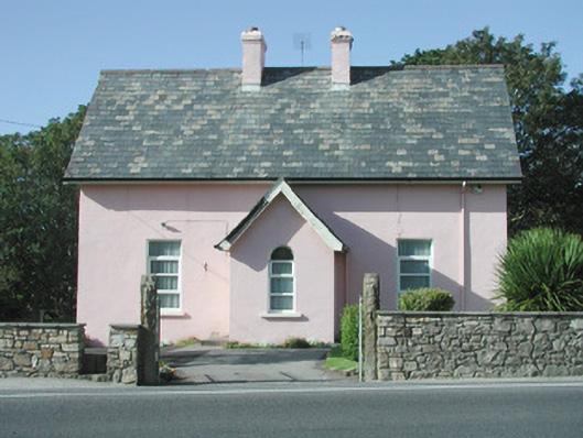 Saint Molaise'spresbytery/parochial/curate's house · 32 yd
 IndicatedHoly well · 392 yd
 CashelmoreFairy fort / stone ringfort · 706 yd
 InishnagorIslet · 1386 yd
 Atlantic SheepdogsHeritage attraction · 1518 yd
 Connors IslandIsland · 1.5 mi
 Streedagh BeachVisitor information · 1.6 mi
 de Cuellar Armada MonumentMemorial · 1.6 mi
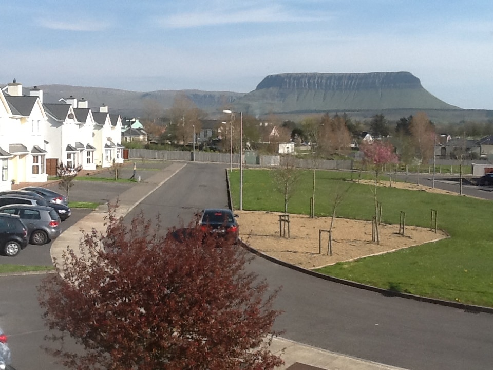
 BenbulbinMountain / peak · 2.8 mi
 Upperglen WoodForest · 2.9 mi
 Kennel WoodWood · 2.9 mi
Other information
Photo: Credit not shown in the picture search · Rights wording not checked; contact us if this picture should be removed