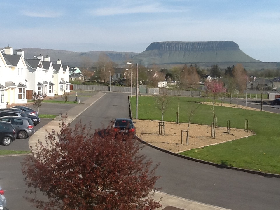
What is recorded here
Situated on a slight NW-facing slope in gently undulating pasture. Slightly raised circular area (diam. c.30m) enclosed by a wall of rubble limestone (Wth 3.25m; int. H 0.65m). There is no fosse visible at ground level. The original entrance to the site is not recognisable. The site is densely overgrown with scrub in all areas.
Compiled by: Patrick F. O'Donovan
Date of upload: 21 April 2011
A local fairy fort (ringfort/rath); wider significance not recorded.
The monument record does not grant public access. Check the route and ask the landowner before entering private land.
- What survives
- Recorded monument
Places near here
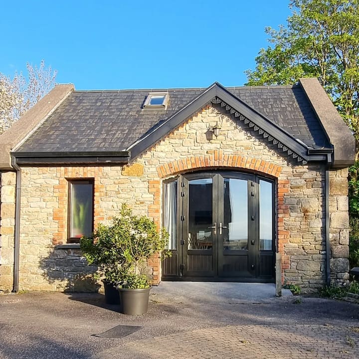 CashelbegFairy fort / stone ringfort · 263 yd
 IndicatedHoly well · 357 yd
 CastleCastle, unclassified · 706 yd
 InishnagorIslet · 710 yd
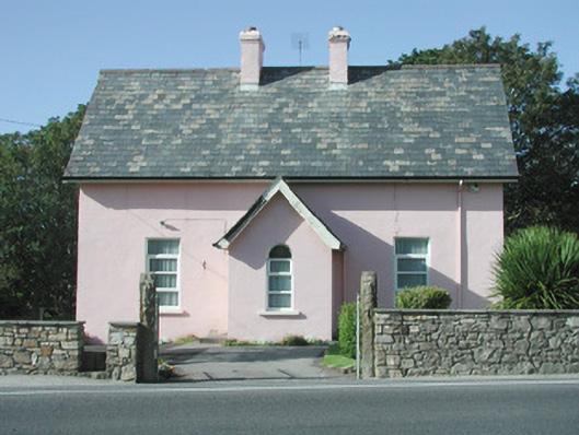 Saint Molaise'spresbytery/parochial/curate's house · 725 yd
 Catholic Church of Mary Immaculatechurch/chapel · 729 yd
 Atlantic SheepdogsHeritage attraction · 1749 yd
 Connors IslandIsland · 1.2 mi
 Streedagh BeachVisitor information · 1.4 mi
 de Cuellar Armada MonumentMemorial · 1.6 mi
 BenbulbinMountain / peak · 3.1 mi
 Upperglen WoodForest · 3.2 mi
Other information
Photo: Credit not shown in the picture search · Rights wording not checked; contact us if this picture should be removed