What is recorded here
Described in 1991 (ASI file) as sited on top of a ridge with good views in all directions except to the east where the view was blocked by higher ground. The monument consisted of an arrangement of three boulders forming a possible triangular-shaped chamber (max. width 1m): the interior was filled with rubble. The whole measured 3.7m by 6.3m. Some 6m downslope to the S four stones protruded from the ground and two others were visible to the SE: these were interpreted as possible kerbstones. Modern housing developments now occupy the site and the remains appear to have been removed in the course landscaping. Only a single boulder is visible as a garden feature. It is impossible to be certain if this formed part of the original monument.
Compiled by: Paul Walsh
Date of upload: 17 February 2014
The monument record does not grant public access. Check the route and ask the landowner before entering private land.
- What survives
- Recorded monument
Places near here
 IndicatedHoly well · 429 yd
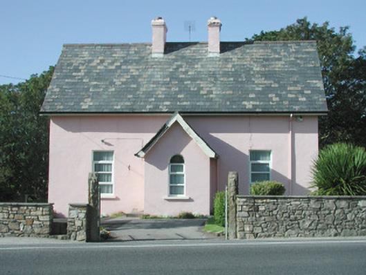 Saint Molaise'spresbytery/parochial/curate's house · 437 yd
 CastleCastle, unclassified · 440 yd
 Catholic Church of Mary Immaculatechurch/chapel · 465 yd
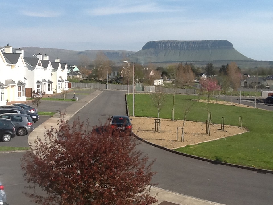 CashelmoreFairy fort / stone ringfort · 490 yd
 InishnagorIslet · 1036 yd
 Atlantic SheepdogsHeritage attraction · 1306 yd
 Streedagh BeachVisitor information · 1.4 mi
 Connors IslandIsland · 1.4 mi
 de Cuellar Armada MonumentMemorial · 1.4 mi
 Upperglen WoodForest · 2.9 mi
 Kennel WoodWood · 3.0 mi