
What is recorded here
Situated in low-lying wet pasture, at the base of a hill that rises to the W. Not marked on 1837 edition of the OS 6-inch map. Indicated on the 1912 edition with the designation 'Toberachunntais'. Well head is now covered by a modern concrete pump house. The well is located on the E side of a deserted settlement (SL003-033----).
Compiled by: Patrick F. O'Donovan
Date of upload: 21 April 2011
Linked to Saint Achantius (Achainte), the well is traditionally associated with cures for skin ailments and general wellness. The name 'Toberachunntais' derives from 'Tobar Achainte,' reflecting the saint's historical connection to the site, though specific folklore or detailed accounts of rituals are not well documented.
The monument record does not grant public access. Check the route and ask the landowner before entering private land.
- What survives
- Recorded monument
Places near here
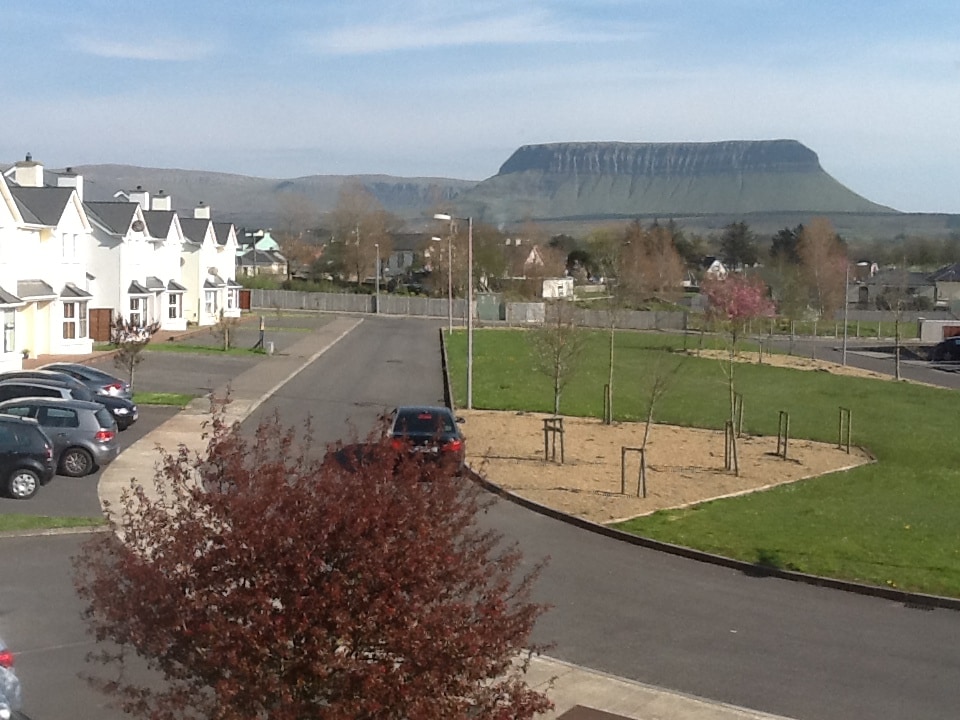 CashelmoreFairy fort / stone ringfort · 357 yd
 CastleCastle, unclassified · 392 yd
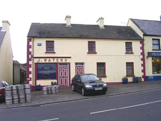 J. Watershouse · 397 yd
 Catholic Church of Mary Immaculatechurch/chapel · 410 yd
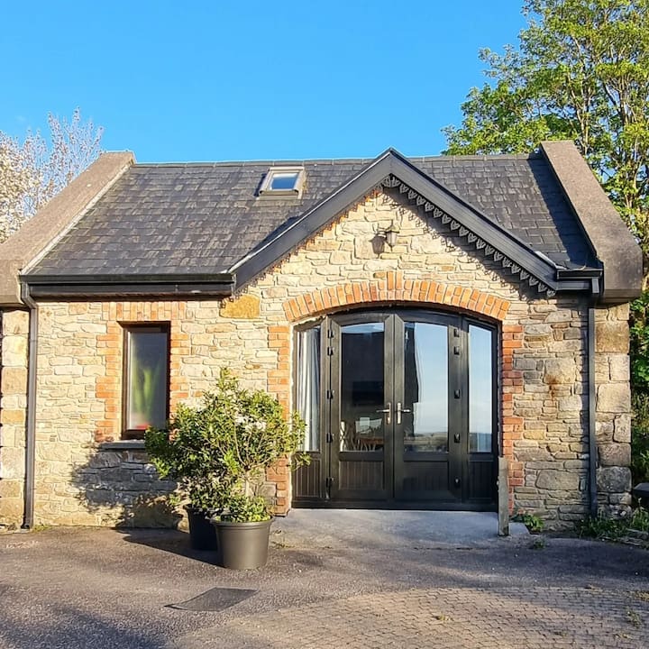 CashelbegFairy fort / stone ringfort · 439 yd
 InishnagorIslet · 1066 yd
 Atlantic SheepdogsHeritage attraction · 1723 yd
 Connors IslandIsland · 1.3 mi
 Streedagh BeachVisitor information · 1.6 mi
 de Cuellar Armada MonumentMemorial · 1.7 mi
 BenbulbinMountain / peak · 2.9 mi
 Upperglen WoodForest · 3.1 mi
Other information
Photo: Credit not shown in the picture search · Rights wording not checked; contact us if this picture should be removed