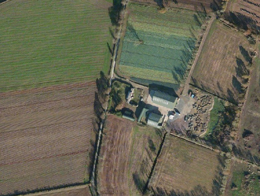
What is recorded here
Detached four-bay two-storey farmhouse, built 1832-3, on a rectangular plan with two-bay single-storey "bas-relief" recessed end bays. Leased, 1856-70. Extended, pre-1901, producing present composition. Sold, 1905. Occupied, 1911. For sale, 2007. Hipped slate roof; hipped slate roof (end bays), pressed or rolled iron ridges, red brick Running bond chimney stacks having stepped capping supporting terracotta pots, and slightly overhanging rendered slate flagged eaves having paired timber consoles. Roughcast walls bellcast over rendered plinth with rusticated rendered piers to corners. Square-headed window openings with cut-granite sills, and concealed dressings framing six-over-six (ground floor) or three-over-six (first floor) timber sash windows. Square-headed window openings (end bays) with cut-granite sills, and concealed dressings framing two-over-two timber sash windows. Set in landscaped grounds.
A farmhouse erected by Charles Lett (1773-1853; cf. 15704608) representing an integral component of the early nineteenth-century domestic built heritage of County Wexford with the architectural value of the composition suggested by such attributes as the compact rectilinear plan form; the somewhat disproportionate bias of solid to void in the massing compounded by the diminishing in scale of the openings on each floor producing a graduated visual impression; and the timber work embellishing a slightly oversailing roofline: meanwhile, aspects of the composition clearly illustrate the continued development or "improvement" of the farmhouse at the turn of the twentieth century. Having been well maintained, the elementary form and massing survive intact together with substantial quantities of the original fabric, both to the exterior and to the interior, thus upholding the character or integrity of a farmhouse having subsequent connections with Edwin C. Seal (----), 'Farmer' (NA 1901); and Ferdinand Murphy (----), 'Farmer' (NA 1911).
This does not grant access. Most recorded buildings are privately owned; view them only from public ground unless the owner allows entry.
Places near here
 Ballyduff Housefarm house · 1348 yd
 Enclosure in TincurryEnclosure · 1465 yd
 IndicatedFairy fort / earthen ringfort · 1483 yd
 Dellfarm house · 1585 yd
 CastleCastle, unclassified · 1.3 mi
 Ferns Castle (in ruins)Castle, Anglo-Norman masonry castle · 2.2 mi
 Tombrick WoodForest · 3.2 mi
 European LarchEuropean Larch · 3.7 mi
 Battle of Vinegar Hill, 1798Monument · 5.0 mi
 Bernard Dunne Memorial BenchMemorial · 5.0 mi
 U.N. Peace MemorialMonument · 5.0 mi
 Gibbet HillMountain / peak · 7.4 mi
Other information
Photo: National Inventory of Architectural Heritage · Website use allowed for educational or private purposes with source credit