What is recorded here
Flat cemetery in Scarawalsh holds five pit burials and a cist on a slight ridge above the River Bann, where inverted urns covered cremated remains before vandalism destroyed the site. The small burial area faced a standing stone and barrow across the water, linking death, memory and the changing river in one place.
Located on a slight ridge in the floodplain of the NE-SW River Bann with the stream c. 100m to the E, and c. 600m from its confluence with the NW-SE River Slaney. Five pit burials and a cist were discovered in July 1963 in a small area (dims. c. 12m N-S; c. 5m E-W), and the remains were collected by Rev. J. Ranson of the County Wexford Museum in Enniscorthy. Unfortunately, the area was vandalised before it could be properly excavated by the National Museum of Ireland, but the pits ran in a NW-SE line with the cist c. 4m apart at the S end. The standing stone (WX020-002001-) and barrow (WX020-002002-) are c. 300m to the SE on the other side of the River Bann.
The cist (dims. c. 0.7m x c. 0.5m; D c. 0.4m) had a large capstone (dims. 0.85m x 0.7m; T 8cm) and contained an encrusted urn inverted over cremated remains (Kavanagh 1973, 567-8). A pit-burial (B) was badly damaged but contained an encrusted urn inverted over a cremation and sherds of another vessel, possibly a food vessel. The pit (C ) had an inverted collared urn and a cremation (Kavanagh 1976, 352-3) while the pit (D) had an enlarged Food Vessel urn, also inverted over a cremation. The pit (E) had an inverted collared urn and cremation, while pit F (dims. 0.52m x 0.4m; D 0.3m), which was the only one completely excavated, contained a cremation and charcoal, but no pottery vessel. (Rynne 1966; Culleton 1984, 36-7)
The above description is derived from the published 'Archaeological Inventory of County Wexford' (Dublin: Stationery Office, 1996). In certain instances the entries have been revised and updated in the light of recent research.
Compiled by: Michael Moore
Date of upload/revision: 31 May, 2012
A Neolithic flat cemetery; dated to the 4th–3rd millennia BCE. Its significance lies in providing evidence of early burial practices and settlement patterns in the River Bann floodplain.
The monument record does not grant public access. Check the route and ask the landowner before entering private land.
- What survives
- Recorded monument
Places near here
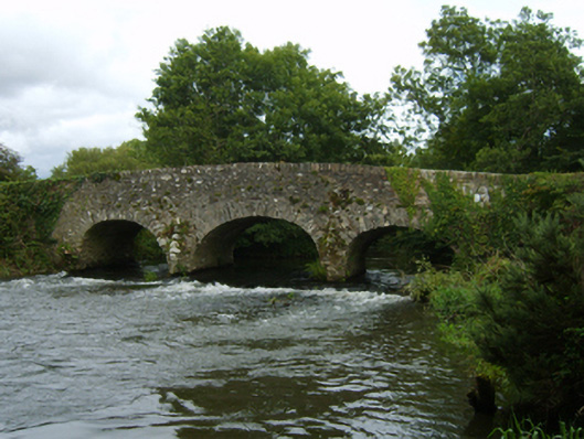 Bann Bridgebridge · 476 yd
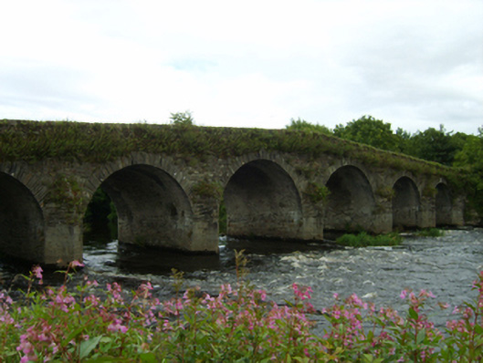 Scarawalsh Bridgebridge · 586 yd
 Fulacht fia in BallynahallinFulacht fia · 1.1 mi
 U.N. Peace MemorialMonument · 3.4 mi
 Duffry GateMemorial · 3.5 mi
 Battle of Vinegar HillMajor battlefield · 3.5 mi
 National 1798 CentreMuseum · 3.8 mi
 Daphney CastleCastle, unclassified · 4.2 mi
 Pedunculate OakPedunculate Oak · 4.4 mi
 European LarchEuropean Larch · 5.2 mi
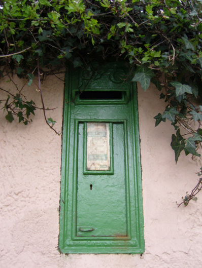 post boxpost box · 934 yd